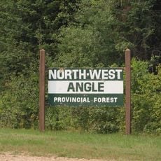
Northwest Angle State Forest, Public forest area in Lake of the Woods County, Minnesota, United States.
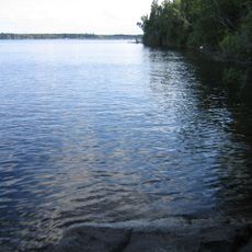
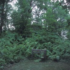
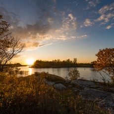
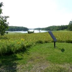
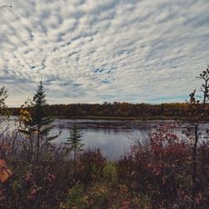
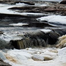
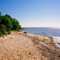
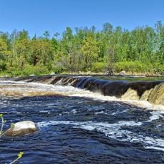
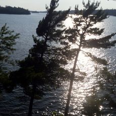
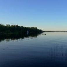
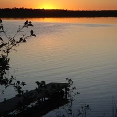
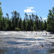
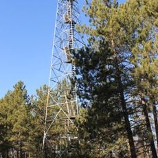
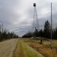
Northwest Angle State Forest is a state forest in Lake of the Woods County in northern Minnesota, made up of tamarack, spruce, pine, cedar, and birch trees across a mostly undeveloped landscape. The terrain is flat and dotted with wetlands and small lakes, giving the forest a remote, open feel.
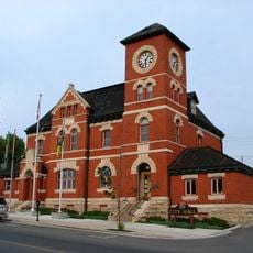
The forest was designated a state forest in 1935 to protect the natural resources of this remote corner of Minnesota. Before that, the area was used by fur traders moving between what is now Canada and the American Midwest.
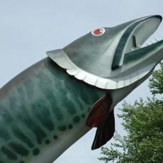
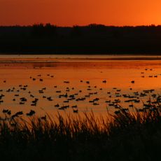
Hunting and fishing are part of daily life for many people who live near or visit this forest, and these traditions have been passed down over generations. The land is seen not as a destination but as a place of regular use and connection.
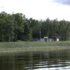
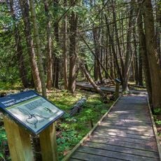
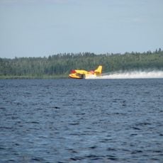
Reaching this forest by land requires passing through Canada, so travelers should plan for border crossings in both directions. Once there, the area is open for hiking, hunting, fishing, birdwatching, and snowmobiling in winter.
The Northwest Angle is the northernmost point of the contiguous 48 states, and it ended up that way because of a mapping error made after the American Revolutionary War. The border line that was drawn enclosed this small piece of land on three sides with Canadian territory, cutting it off from the rest of the country by land.
The community of curious travelers
AroundUs brings together thousands of curated places, local tips, and hidden gems, enriched daily by 60,000 contributors worldwide.