Fort Saint Charles, Archaeological fort in Angle Township, United States
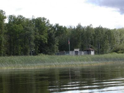
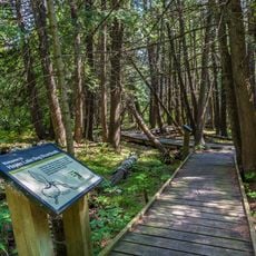
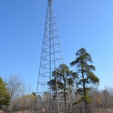
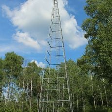
Fort Saint Charles is a reconstructed 18th-century French trading post on a small island in the Lake of the Woods, at the northernmost point of Minnesota. The site features a double palisade wall, four bastions, and a watchtower, together forming the kind of fortified layout commonly used by French traders in that era.
Pierre Gaultier de Varennes, known as La Vérendrye, founded the post in 1732 as a base for pushing French exploration further west of Lake Superior. After the decline of French influence in North America, the site fell out of use and was eventually reclaimed by the forest before later excavations brought it back to light.
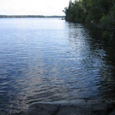
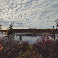
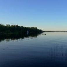
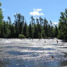
Fort Saint Charles sits on a small island in the Lake of the Woods, reachable only by boat, which gives the visit a remote and unhurried feel. The site is tended by the Knights of Columbus of Minnesota, who maintain it as a place of memory for early French and Indigenous encounters in the region.
The island is accessible only by boat, so planning the trip well in advance is essential, especially if arriving from the US side of the border. The summer months offer the most comfortable conditions for exploring the site and the surrounding lake area.
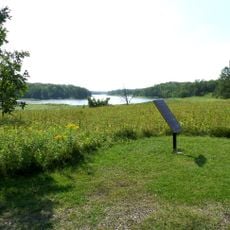
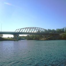
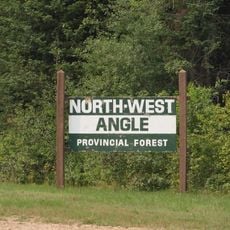
Fort Saint Charles stands in a part of Minnesota that is physically surrounded by Canada on the land side, meaning the only road access passes through Canadian territory. This strip of land, known as the Northwest Angle, is the northernmost piece of the contiguous 48 US states.
The community of curious travelers
AroundUs brings together thousands of curated places, local tips, and hidden gems, enriched daily by 60,000 contributors worldwide.