Rainy River District
Rainy River District, Administrative district in Northwestern Ontario, Canada.
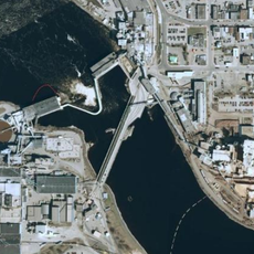
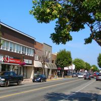
The Rainy River District is an administrative region in Northwestern Ontario that spans across a landscape shaped by rivers and lakes. It encompasses several communities including Fort Frances, Atikokan, and Emo, with Fort Frances serving as the main administrative center.
The district was established in 1885 and grew from its roots in the lumber trade during the early decades. Fort Frances emerged as the region's administrative center during this period of economic development.
The area holds deep significance for Ojibwe communities, and their language and traditions remain part of everyday life here. Visitors can encounter these customs through local gatherings and cultural activities.
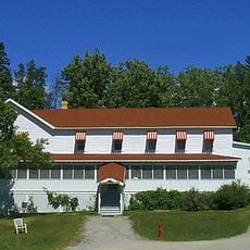
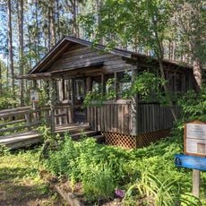
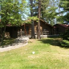
The area is spread across a large region with limited public transportation, so having a car makes exploring between communities easier. Most visitors base themselves in or near Fort Frances, which serves as the best starting point for visiting the area.
The district has an unusual feature where most communities follow the Central Time Zone, but Atikokan stands apart by observing Eastern Standard Time. This creates different clock times within the same administrative area.
Location: Ontario
Inception: 1885
Elevation above the sea: 328 m
Shares border with: Kenora District
Website: http://rrdssab.ca
GPS coordinates: 48.83333,-92.00000
Latest update: December 10, 2025 15:54
Voyageurs National Park
74.8 km
Quetico Provincial Park
59.5 km
Fort Frances – International Falls International Bridge
106 km
Hegman Lake Pictograph
87 km
Kettle Falls Hotel
59.7 km
Fort Saint Pierre
102.7 km
Kabetogama State Forest
88.3 km
Burntside Lodge
101.4 km
Kettle Falls Historic District
59.8 km
Listening Point
103.6 km
Jun Fujita Cabin
71.4 km
Sandbar Lake Provincial Park
79.8 km
State Theater
104.1 km
Finstad's Auto Marine Shop
101.9 km
William Ingersoll Estate
63.7 km
Kabetogama Ranger Station District
87.1 km
Koochiching County Courthouse
106.8 km
Orr Roadside Parking Area
105.8 km
Civilian Conservation Corps Camp S-52
102.6 km
Gold Mine Sites
89.6 km
Dorothy Molter Museum
104.3 km
Ash River Lookout Tower
74.9 km
Kabetogama Lookout Tower
91.4 km
Ash River Visitor Center
76.6 km
Black Bay Lookout Tower
90 km
Kabetogama Lake Visitor Center
87.2 km
Rainy Lake Visitor Center
89.7 km
Elephant Lake Lookout Tower
91.4 kmVisited this place? Tap the stars to rate it and share your experience / photos with the community! Try now! You can cancel it anytime.
Discover hidden gems everywhere you go!
From secret cafés to breathtaking viewpoints, skip the crowded tourist spots and find places that match your style. Our app makes it easy with voice search, smart filtering, route optimization, and insider tips from travelers worldwide. Download now for the complete mobile experience.
A unique approach to discovering new places❞
— Le Figaro
All the places worth exploring❞
— France Info
A tailor-made excursion in just a few clicks❞
— 20 Minutes