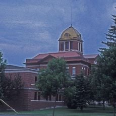
Fort Frances, Border town in Northwestern Ontario, Canada.
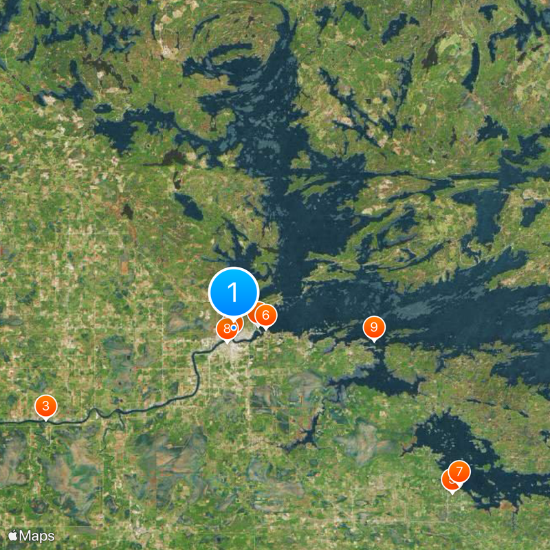
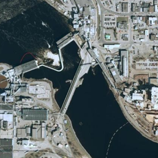
Fort Frances is a border town on Rainy Lake connecting Ontario and Minnesota through an international bridge. The town sits along the lakeshore and serves as the administrative hub for the Rainy River District.
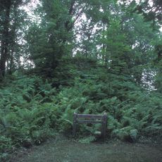
The settlement started in 1731 as a French fur trade post west of Lake Superior. It later became a permanent community that shaped the region's development.
The town sits on traditional Anishinaabe and Métis land, and this heritage shows in how people gather and celebrate together throughout the year. The relationship shapes daily life and community events.
The town is reached via Highways 11 and 71, with a regional hospital providing medical services for the area. Knowing these main routes makes it easy to get around and explore the district.
The highest temperature ever recorded in Ontario occurred here in 1936, making it a notable weather record. This extreme event remains part of local memory and discussion.
The community of curious travelers
AroundUs brings together thousands of curated places, local tips, and hidden gems, enriched daily by 60,000 contributors worldwide.