
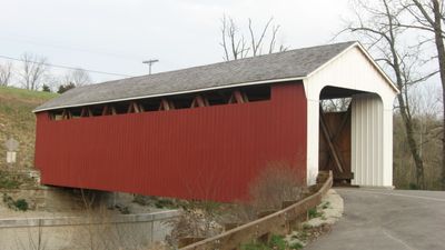
Snow Hill Covered Bridge, covered bridge in Whitewater Township, Franklin County, Indiana
Location: Whitewater Township
Inception: 1894
GPS coordinates: 39.32557,-84.85189
Latest update: September 23, 2025 16:46

Fernald Feed Materials Production Center
14.2 km
Miami Whitewater Forest
12.2 km
Little Cedar Grove Baptist Church
13.1 km
Whitewater Shaker Settlement
10 km
The Hermitage
17 km
Eighteen Mile House
12.1 km
Wesley Butler Archeological District
19.3 km
St. John the Baptist Harrison
7.7 km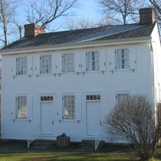
Othniel Looker House
7.7 km
Cochran Farm
17.9 km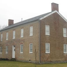
Franklin County Seminary
17.1 km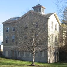
Hugh Campbell House
9 km
Roberts Mound
14.3 km
Brookville Historic District
17.4 km
George Bennett House
10.7 km
Rennert Mound Archeological District
18.9 km
James P. Hidley Cottage
14.5 km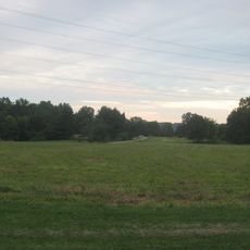
Shaw Farm
15.6 km
Thomas Select School
11.8 km
Cedar Grove Bridge
8.4 km
Roudebush Farm
11.6 km
Jehu John House
8.9 km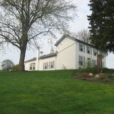
Salmon Turrell Farmstead
763 m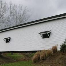
Guilford Covered Bridge
18 km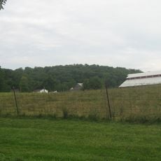
John Scott Barn and Granary
13.6 km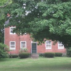
John Vaughan House
12.2 km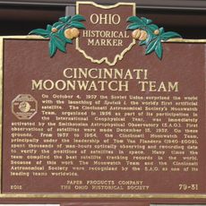
Cincinnati Moonwatch Team
19.2 km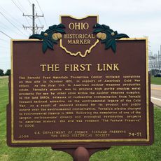
The First Link
15.1 kmReviews
Visited this place? Tap the stars to rate it and share your experience / photos with the community! Try now! You can cancel it anytime.
Discover hidden gems everywhere you go!
From secret cafés to breathtaking viewpoints, skip the crowded tourist spots and find places that match your style. Our app makes it easy with voice search, smart filtering, route optimization, and insider tips from travelers worldwide. Download now for the complete mobile experience.

A unique approach to discovering new places❞
— Le Figaro
All the places worth exploring❞
— France Info
A tailor-made excursion in just a few clicks❞
— 20 Minutes