Gillsville, human settlement in Banks and Hall Counties, Georgia, United States of America
Location: Banks County
Location: Hall County
Elevation above the sea: 287 m
GPS coordinates: 34.30920,-83.63560
Latest update: March 4, 2025 02:27

Currahee Mountain
34.2 km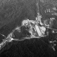
Road Atlanta
24.7 km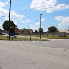
Arrendale State Prison
16.2 kmCrawford W. Long Museum
22 km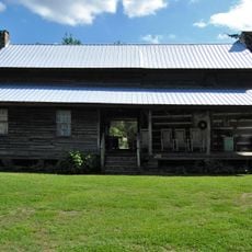
Fort Hollingsworth–White House
16.1 km
Chenocetah Mountain
24.5 km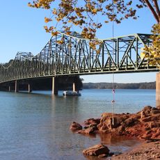
Browns Bridge
29.5 km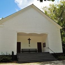
Hebron Church, Cemetery, and Academy
25 km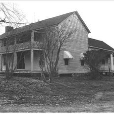
Bowman-Pirkle House
34.7 km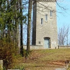
Chenocetah Fire Tower
24.5 km
Jackson County Courthouse
22 km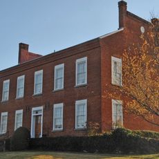
Old White County Courthouse
34.8 km
Federal Building and U.S. Courthouse
17.5 km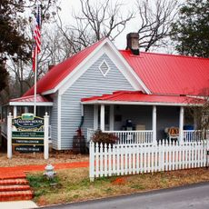
Mauldin House Welcome Center
35.6 km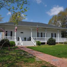
Gainesville Commercial Historic District
17.6 km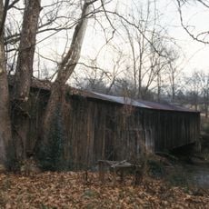
Cromer's Mill Covered Bridge
34.2 km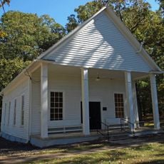
Rockwell Universalist Church
31.3 km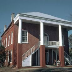
Old Banks County Courthouse
12.9 km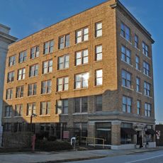
Jackson Building
17.6 km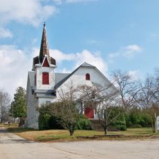
Maysville Historic District
9 km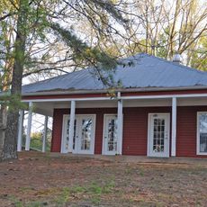
Beulah Rucker House-School
14.4 km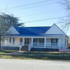
Gillsville Historic District
193 m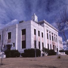
Old Hall County Courthouse
17.5 km
Walnut Hill Historic District
27.4 km
Candler Street School
17.4 km
McConnell Historic District
26.7 km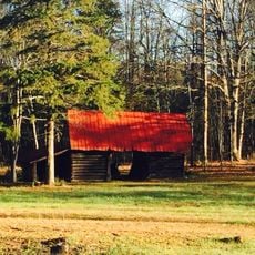
Hamilton Historic District
28.4 km
Van Pugh Park
35.5 kmVisited this place? Tap the stars to rate it and share your experience / photos with the community! Try now! You can cancel it anytime.
Discover hidden gems everywhere you go!
From secret cafés to breathtaking viewpoints, skip the crowded tourist spots and find places that match your style. Our app makes it easy with voice search, smart filtering, route optimization, and insider tips from travelers worldwide. Download now for the complete mobile experience.

A unique approach to discovering new places❞
— Le Figaro
All the places worth exploring❞
— France Info
A tailor-made excursion in just a few clicks❞
— 20 Minutes