Enable Location

We need your location to show you interesting places around you

Discover nearby places

Find interesting locations and hidden gems around you

Precise directions

Get accurate directions and distances to places

Your location is never shared with other users. It's only used when you tap the location button.

Currahee Mountain

Log in to your account

Start exploring — it's free

Trusted by 60,648 travelers worldwide

Continue with Google
Continue with Apple
or

We will send you a code to connect

By continuing, you accept our Terms and Conditions and our Privacy Policy

Check your inbox

We've sent a pincode in your inbox. Please enter the code below.

Currahee Mountain

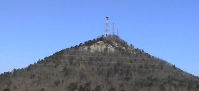
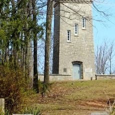
Currahee Mountain, Mountain peak in Stephens County, Georgia, US

Description

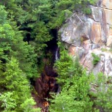
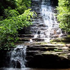
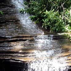
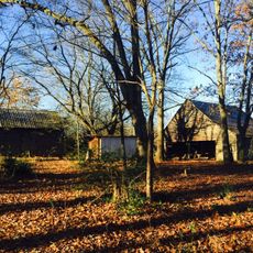
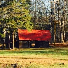
Currahee Mountain is a peak in Stephens County, Georgia, rising 800 feet (240 meters) above the surrounding terrain to reach 1,735 feet (530 meters) in elevation. It marks the southernmost point of the Blue Ridge chain in the region.

History

The peak served as a training site for paratroopers at Camp Toccoa during World War II. Soldiers used the mountain to build combat readiness and physical endurance.

Culture

The name derives from the Cherokee word 'quu-wa-hi', reflecting the mountain's solitary position in the landscape of northeast Georgia.

Practical

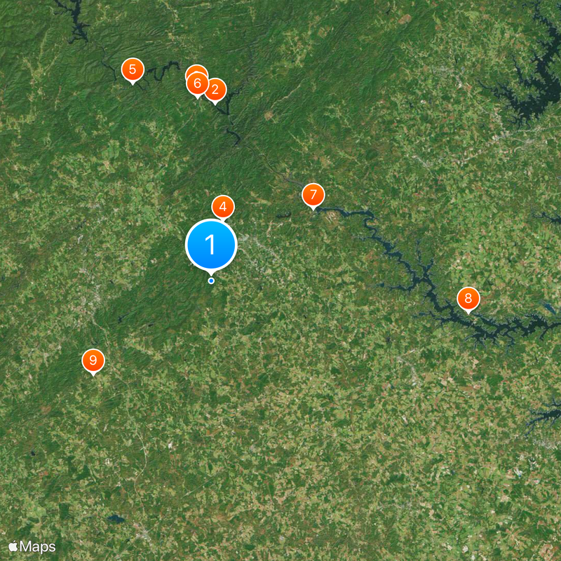
You can reach the summit by driving up Currahee Mountain Road or hiking from the base parking area. The various trails suit different skill levels and fitness abilities.

Did you know?

The mountain features several climbing walls with routes for different levels of rock climbing experience. Both novice and experienced climbers find suitable challenges here.

Location
GPS coordinates
34.52927,-83.37572
Latest update
December 14, 2025 19:10

AroundUs brings together thousands of curated places, local tips, and hidden gems, enriched daily by 60,000 contributors worldwide. Discover all places nearby (Stephens County).

Around this place
United States of America

Tallulah Gorge

21.8 km
Tallulah Gorge State Park
United States of America

Tallulah Gorge State Park

23.5 km
Toccoa Falls
United States of America

Toccoa Falls

7.6 km
Minnehaha Falls
United States of America

Minnehaha Falls

26.1 km
Tallulah Falls School
United States of America

Tallulah Falls School

22.6 km
Travelers Rest
United States of America

Travelers Rest

15.3 km
Lake Hartwell State Park
United States of America

Lake Hartwell State Park

31.8 km
Fort Hollingsworth–White House
United States of America

Fort Hollingsworth–White House

18.5 km
Caledonia Cascade
United States of America

Caledonia Cascade

24 km
Panther Falls
United States of America

Panther Falls

28.2 km
Chenocetah Mountain
United States of America

Chenocetah Mountain

12.4 km
Angel Falls
United States of America

Angel Falls

27.2 km
Long Creek Academy
United States of America

Long Creek Academy

31.3 km
Hebron Church, Cemetery, and Academy
United States of America

Hebron Church, Cemetery, and Academy

27 km
Stephens County Courthouse
United States of America

Stephens County Courthouse

7 km
Chenocetah Fire Tower
United States of America

Chenocetah Fire Tower

12.4 km
Mauldin House Welcome Center
United States of America

Mauldin House Welcome Center

16.7 km
James B. Simmons House
United States of America

James B. Simmons House

7 km
Cromer's Mill Covered Bridge
United States of America

Cromer's Mill Covered Bridge

30.1 km
Retreat Rosenwald School
United States of America

Retreat Rosenwald School

31.2 km
Lavonia-Carnegie Library
United States of America

Lavonia-Carnegie Library

27.1 km
Old Banks County Courthouse
United States of America

Old Banks County Courthouse

24.4 km
Henry Asbury House
United States of America

Henry Asbury House

16.7 km
Jarrett-Hayes House
United States of America

Jarrett-Hayes House

15.4 km
Walnut Hill Historic District
United States of America

Walnut Hill Historic District

19.5 km
McConnell Historic District
United States of America

McConnell Historic District

18.2 km
Franklin County Courthouse
United States of America

Franklin County Courthouse

21.9 km
Hamilton Historic District
United States of America

Hamilton Historic District

20.6 km
Show the full map
« Currahee Mountain - Mountain peak in Stephens County, Georgia, US » is provided by Around Us (aroundus.com). Images and texts are derived from Wikimedia project under a Creative Commons license. You are allowed to copy, distribute, and modify copies of this page, under the conditions set by the license, as long as this note is clearly visible.

Discover hidden gems everywhere you go!

From secret cafés to breathtaking viewpoints, skip the crowded tourist spots and find places that match your style. Our app makes it easy with voice search, smart filtering, route optimization, and insider tips from travelers worldwide. Download now for the complete mobile experience.

Around Us App Screenshot

A unique approach to discovering new places

Le Figaro

All the places worth exploring

France Info

A tailor-made excursion in just a few clicks

20 Minutes

Around Us
Travel Guide & Maps
Download

Send to your phone

QR Code
1

Open the camera app on your mobile.

2

Point at the QR code with your camera. A notification will appear.

3

Tap the notification to open the link.