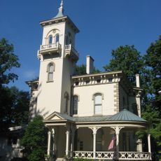
Milford, city in Clermont and Hamilton counties, Ohio, United States
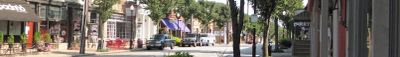
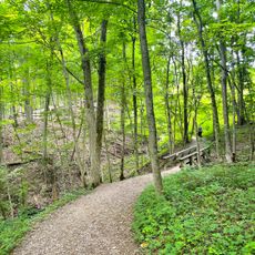
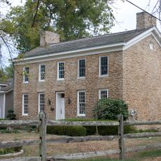
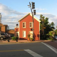
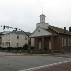
Milford is a small city in Clermont County, Ohio, situated along the Little Miami River. It features a downtown area with antique shops, restaurants, cafes, and local businesses, along with access to hiking and biking trails and opportunities for paddling on the river.
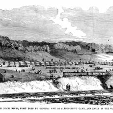
Milford developed as the first safe crossing over the Little Miami River north of the Ohio River, with a gristmill established in 1803. The waterpower and strategic location enabled a small settlement to grow, with the town's name still reflecting its mill-powered heritage.
The name Milford originates from 'mill ford', referring to the water-powered mills built along the Little Miami River in the early 1800s. Today, this heritage lives on through local shops, family gatherings, and community events that reflect the town's connection to its milling past.
The town is easy to explore on foot, with parking available near the downtown area for visitors. Plan to spend time browsing shops and cafes at a relaxed pace, as the area encourages lingering rather than rushing through.
Bishop's Bicycles has operated since 1890, making it one of the oldest continuously running bike shops in the region. This long-standing business offers a window into the town's craft heritage beyond its milling past.
The community of curious travelers
AroundUs brings together thousands of curated places, local tips, and hidden gems, enriched daily by 60,000 contributors worldwide.