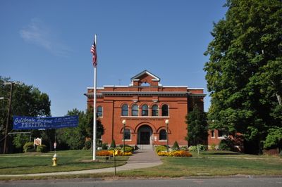
Tolland, town in Connecticut, United States
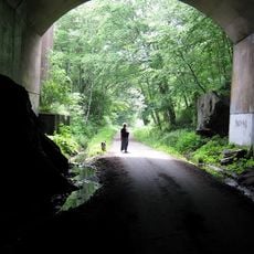
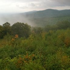
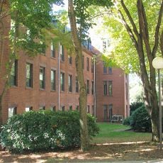
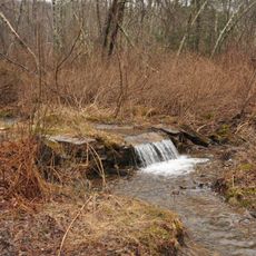
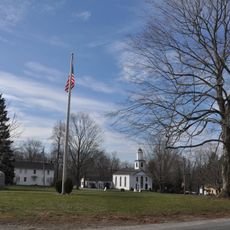
Tolland is a small town in Tolland County, Connecticut, characterized by its rural layout and forest surroundings spread across the landscape. The area features scattered homes, wooded land, and quiet roads that connect the region to larger cities in New England while maintaining a spaced-out, peaceful character.
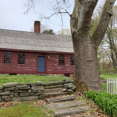
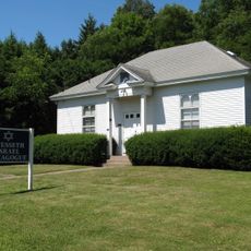
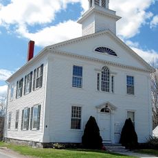
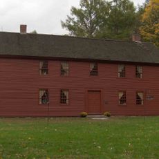
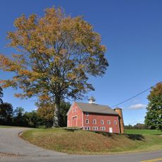
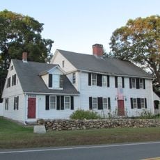
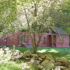
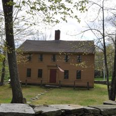
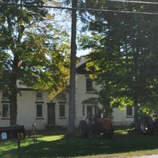
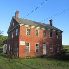
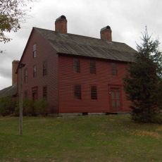
Tolland emerged from early colonial settlement, as shown by preserved structures like the Daniel Benton Homestead built around 1720. The community evolved from an agricultural area into a modern small town that continues to maintain connections to its historical roots through local preservation efforts.
Access is easy via Highways 84 and 91, which connect Tolland to larger cities and Bradley Airport for travel. The spread-out layout means you will need a car to move between locations, as attractions and services are distributed across a wide area.
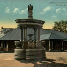
Nearby Stafford Springs hosts one of the country's first car race tracks, still operating with NASCAR events that draw visitors from around the region. In neighboring Coventry, a weekend farmers market takes over farm buildings where visitors can find fresh local goods and experience how colonial life once functioned.
The community of curious travelers
AroundUs brings together thousands of curated places, local tips, and hidden gems, enriched daily by 60,000 contributors worldwide.