Chest opened
+${chestReward.xp} XP
Explorer
NOUVEAU ×${chestReward.collectible.quantity}
tapez pour fermer
Chest locked

Open chests in the app

Around Us is built for your phone — chests unlock when you walk, explore and capture nearby places.

Enable Location

We need your location to show you interesting places around you

Discover nearby places

Find interesting locations and hidden gems around you

Precise directions

Get accurate directions and distances to places

Your location is never shared with other users. It's only used when you tap the location button.

Somerset

Log in to your account

Start exploring — it's free

Trusted by 72,880 travelers worldwide

Continue with Google
Continue with Apple
or

We will send you a code to connect

By continuing, you accept our Terms and Conditions and our Privacy Policy

Check your inbox

We've sent a pincode in your inbox. Please enter the code below.

Discussion Reviews 2 Photos
18.6k Popularity

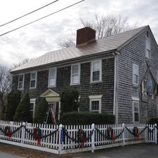
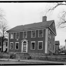
Somerset, town in Massachusetts, United States

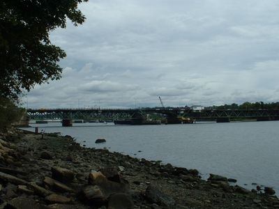
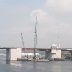
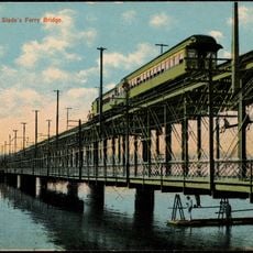
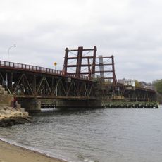
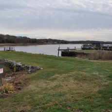
Somerset is a town in Bristol County, Massachusetts, situated along the Taunton River and Mount Hope Bay. The community spans about 12 square miles with a mix of residential neighborhoods, parks, and waterfront areas, connected to nearby Fall River and Swansea by bridges.

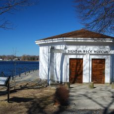
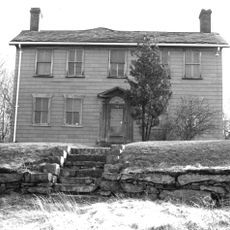
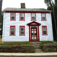
Somerset was first settled in 1677 and officially established as a town in 1790, named after Somerset Square in Boston which referenced a county in England. The town became an important shipping and trading hub, and after 1812 served as a key distribution point for goods across the region.

Somerset is most easily reached via Interstate 195, which crosses through the town and connects toward Boston. The town has bus service linking it to nearby areas, and the closest major airport is in New Bedford.

Somerset was the hometown of Clifford Milburn Holland, the engineer who designed the Holland Tunnel in New York City. The town also has connections to earlier industries like coal and canning factories that brought workers and families to the area.

The community of curious travelers

AroundUs brings together thousands of curated places, local tips, and hidden gems, enriched daily by 60,000 contributors worldwide.

Start exploring
Location
Elevation above the sea
15 m
GPS coordinates
41.76944,-71.12917
Latest update
February 16, 2026 23:41
Around this place
Dighton Rock
United States of America

Dighton Rock

5.1 km
Dighton Rock State Park
United States of America

Dighton Rock State Park

5.2 km
Veterans Memorial Bridge
United States of America

Veterans Memorial Bridge

5.1 km
Slade's Ferry Bridge
United States of America

Slade's Ferry Bridge

5.9 km
Brightman Street Bridge
United States of America

Brightman Street Bridge

5.5 km
Truesdale Hospital
United States of America

Truesdale Hospital

4.6 km
St. Joseph's Church
United States of America

St. Joseph's Church

5.9 km
Dighton Community Church
United States of America

Dighton Community Church

5.3 km
Sagamore Mills No. 1 and No. 3
United States of America

Sagamore Mills No. 1 and No. 3

5 km
North Christian Congregational Church
United States of America

North Christian Congregational Church

2.8 km
Dighton Wharves Historic District
United States of America

Dighton Wharves Historic District

4.4 km
Ashley House
United States of America

Ashley House

3.4 km
Baker House
United States of America

Baker House

5.9 km
Borden-Winslow House
United States of America

Borden-Winslow House

4.8 km
Swansea Village Historic District
United States of America

Swansea Village Historic District

5.7 km
Coram Shipyard Historic District
United States of America

Coram Shipyard Historic District

4.9 km
Sagamore Mill No. 2
United States of America

Sagamore Mill No. 2

5.2 km
Bark Street School
United States of America

Bark Street School

3.6 km
Somerset Village Historic District
United States of America

Somerset Village Historic District

514 m
Luther Winslow, Jr., House
United States of America

Luther Winslow, Jr., House

2.6 km
Hathaway Brightman House
United States of America

Hathaway Brightman House

4 km
William Collins House
United States of America

William Collins House

5.4 km
Simcock House
United States of America

Simcock House

3.8 km
Hooper House
United States of America

Hooper House

5.8 km
Walkden Farm
United States of America

Walkden Farm

3.7 km
Squire William B. Canedy House
United States of America

Squire William B. Canedy House

6.2 km
Valentine-French House
United States of America

Valentine-French House

2.5 km
Nathan Read House
United States of America

Nathan Read House

6.1 km
Show the full map
Reviews
Share your experience

No review yet

Discussions
Start a discussion...

No discussion yet

« Somerset - town in Massachusetts, United States » is provided by Around Us (aroundus.com). Images and texts are derived from Wikimedia project under a Creative Commons license. You are allowed to copy, distribute, and modify copies of this page, under the conditions set by the license, as long as this note is clearly visible.

Discover hidden gems everywhere you go!

From secret cafés to breathtaking viewpoints, skip the crowded tourist spots and find places that match your style. Our app makes it easy with voice search, smart filtering, route optimization, and insider tips from travelers worldwide. Download now for the complete mobile experience.

Around Us App Screenshot

A unique approach to discovering new places

Le Figaro

All the places worth exploring

France Info

A tailor-made excursion in just a few clicks

20 Minutes

Around Us
Travel Guide & Maps
Download

Send to your phone

QR Code
1

Open the camera app on your mobile.

2

Point at the QR code with your camera. A notification will appear.

3

Tap the notification to open the link.