Tamworth, town in New Hampshire
Location: Carroll County
Inception: 1766
Elevation above the sea: 160 m
Website: http://tamworthnh.org
GPS coordinates: 43.85944,-71.26278
Latest update: March 7, 2025 04:01
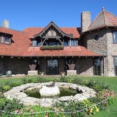
Castle in the Clouds
15.4 km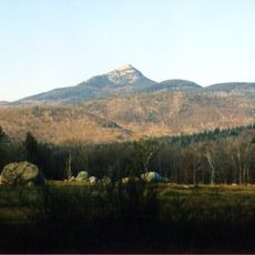
Mount Chocorua
10.6 km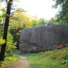
Madison Boulder
11.1 kmMount Shaw
12.9 km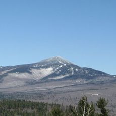
Mount Passaconaway
14.2 km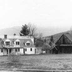
Joy Farm
8.9 kmCamp Cody
10.8 km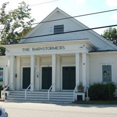
Barnstormers Theatre
298 m
Mount Roberts
12.5 kmBayle Mountain
8.5 kmHemenway State Forest
4.2 km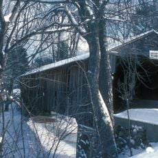
Whittier Bridge
5.8 km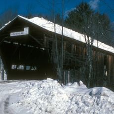
Durgin Bridge
8.2 km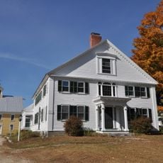
Capt. Enoch Remick House
657 m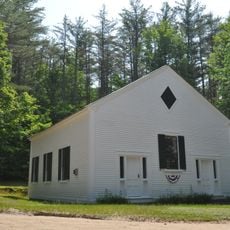
White Meetinghouse
15.1 km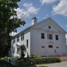
Town Hall
15.2 km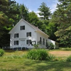
North Sandwich Meeting House
8.3 km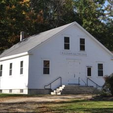
Moultonborough Town House
16.3 km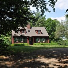
Chocorua Lake Basin Historic District
5 km
High, Church and Gould Streets Historic District
14.3 km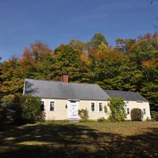
Bradbury Jewell House
9.8 km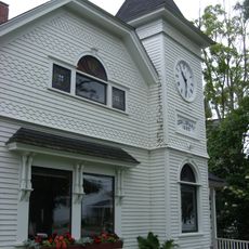
Cook Memorial Library
245 m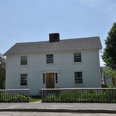
Hansen's Annex
15.3 km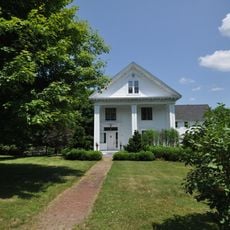
Lower Corner Historic District
14.2 km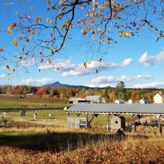
Remick Country Doctor Museum & Farm
471 m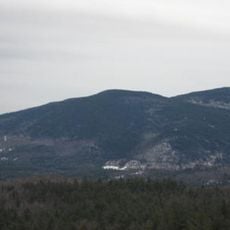
Mount Whittier
5.6 km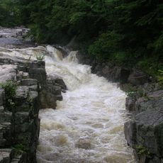
Rocky Gorge
16.2 km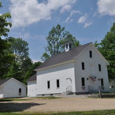
Center Sandwich Historic District
15.4 kmVisited this place? Tap the stars to rate it and share your experience / photos with the community! Try now! You can cancel it anytime.
Discover hidden gems everywhere you go!
From secret cafés to breathtaking viewpoints, skip the crowded tourist spots and find places that match your style. Our app makes it easy with voice search, smart filtering, route optimization, and insider tips from travelers worldwide. Download now for the complete mobile experience.

A unique approach to discovering new places❞
— Le Figaro
All the places worth exploring❞
— France Info
A tailor-made excursion in just a few clicks❞
— 20 Minutes