
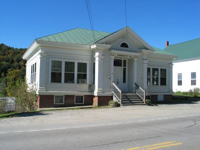
Tunbridge, town in Vermont
Location: Orange County
Inception: 1761
Elevation above the sea: 172 m
Shares border with: Brookfield
Website: http://tunbridgevt.com
GPS coordinates: 43.90194,-72.48523
Latest update: March 3, 2025 05:26
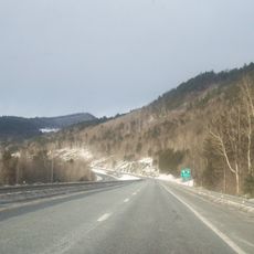
Interstate 89
13.3 km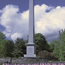
Joseph Smith Birthplace Memorial
8.8 km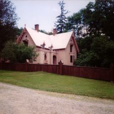
Justin Smith Morrill Homestead
9.8 km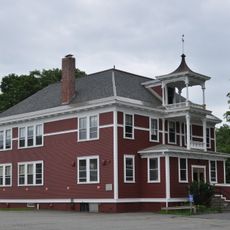
Randolph Center Historic District
11 km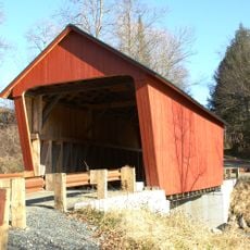
Braley Covered Bridge
6.5 km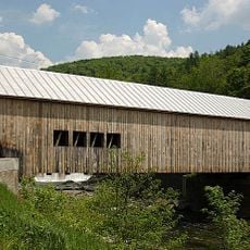
Mill Covered Bridge
1.3 km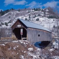
Flint Covered Bridge
5.6 km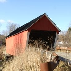
Gifford Covered Bridge
5.8 km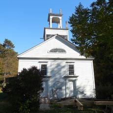
Old Christ Church
13.4 km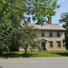
Joseph Fessenden House
10.9 km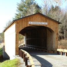
Kingsbury Covered Bridge
8.1 km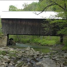
Moxley Covered Bridge
6.4 km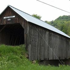
Cilley Covered Bridge
2.6 km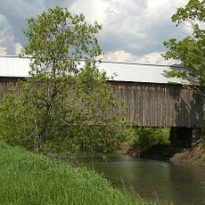
Howe Covered Bridge
4.3 km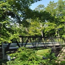
Foundry Bridge
1.5 km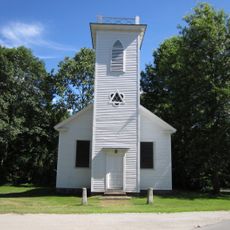
St. Paul's Episcopal Church
10.8 km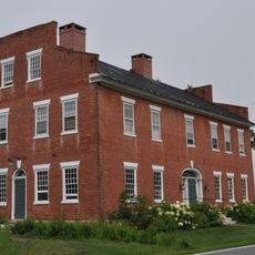
Fox Stand
10.8 km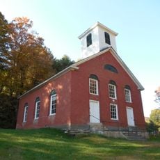
South Tunbridge Methodist Episcopal Church
5.2 km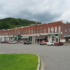
South Royalton Historic District
9.5 km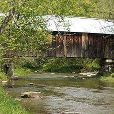
Larkin Covered Bridge
2.8 km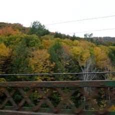
Gilead Brook Bridge
13.4 km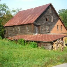
Hayward and Kibby Mill
1.3 km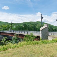
Chelsea Street Bridge
9.2 km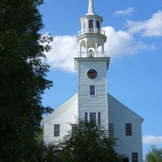
Strafford Village Historic District
9.5 km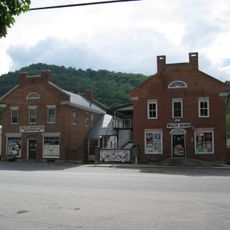
Chelsea Village Historic District
10.2 km
Tunbridge Village Historic District
1.8 km
Royalton Mill Complex
8.2 km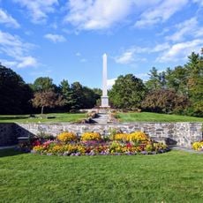
Joseph Smith Monument
8.8 kmVisited this place? Tap the stars to rate it and share your experience / photos with the community! Try now! You can cancel it anytime.
Discover hidden gems everywhere you go!
From secret cafés to breathtaking viewpoints, skip the crowded tourist spots and find places that match your style. Our app makes it easy with voice search, smart filtering, route optimization, and insider tips from travelers worldwide. Download now for the complete mobile experience.

A unique approach to discovering new places❞
— Le Figaro
All the places worth exploring❞
— France Info
A tailor-made excursion in just a few clicks❞
— 20 Minutes