
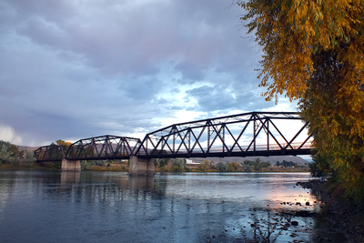
Toston Bridge, road bridge in Broadwater County, Montana
Location: Broadwater County
Inception: 1920s
GPS coordinates: 46.17194,-111.44278
Latest update: September 23, 2025 16:46
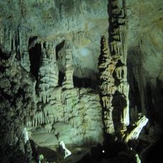
Lewis and Clark Caverns
50.1 km
Missouri Headwaters State Park
28.3 km
Madison Buffalo Jump State Park
42.1 km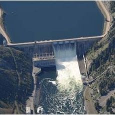
Canyon Ferry Dam
57.4 km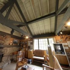
Lewis & Clark Caverns State Park
49.7 km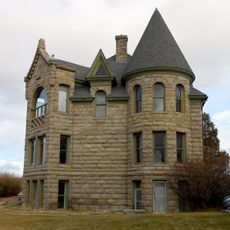
Byron R. Sherman House
59.3 km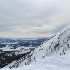
Bridger Bowl Ski Area
57.8 km
Kluge House
59.7 km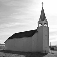
St. Joseph's Catholic Mission Church
26.4 km
W.C. Child Ranch
57 km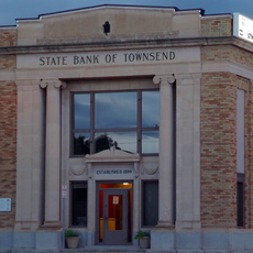
State Bank of Townsend
17.8 km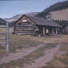
Eagle Guard Station
26.3 km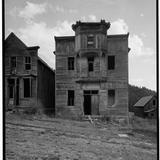
Fraternity Hall
40.4 km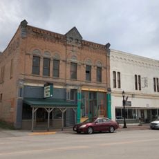
Parberry Block East
58.9 km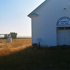
Dry Creek School
37.2 km
Jefferson County Courthouse
52.7 km
Adams Block
32.1 km
College 'M' Steep Trail
62.7 km
Lewis and Clark Caverns State Park
49.7 km
Montana Science Center
62.5 km
Cherry River Fishing access
59.6 km
Ling Rock - Ferry Crossing Headwaters State Park
26.7 km
Star Theatre
60.8 km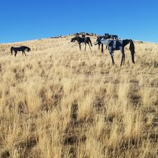
Bleu Horses
24.5 km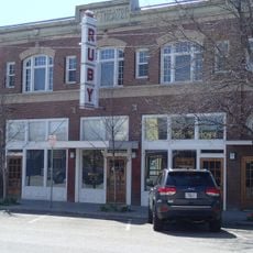
Ruby Theatre
33.2 km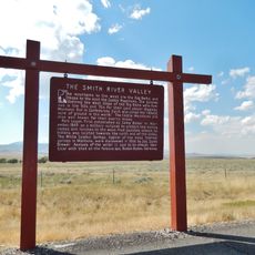
Smith River Valley Historical Marker
50.5 km
Cave Visitor Center
49.6 km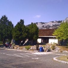
Lewis and Clark Caverns Historic District
49.6 kmReviews
Visited this place? Tap the stars to rate it and share your experience / photos with the community! Try now! You can cancel it anytime.
Discover hidden gems everywhere you go!
From secret cafés to breathtaking viewpoints, skip the crowded tourist spots and find places that match your style. Our app makes it easy with voice search, smart filtering, route optimization, and insider tips from travelers worldwide. Download now for the complete mobile experience.

A unique approach to discovering new places❞
— Le Figaro
All the places worth exploring❞
— France Info
A tailor-made excursion in just a few clicks❞
— 20 Minutes