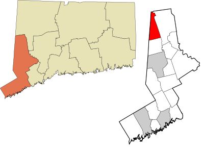
Sherman, town in Fairfield County, Connecticut, United States
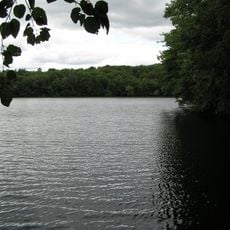
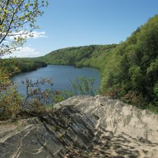
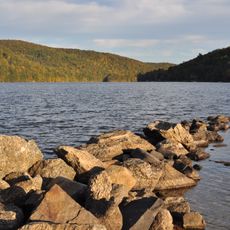
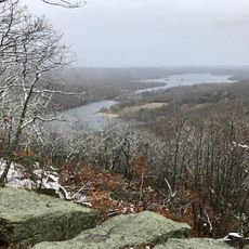
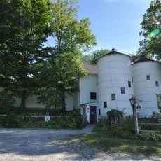
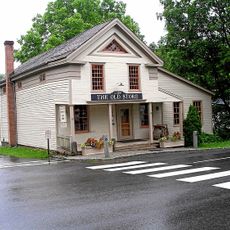
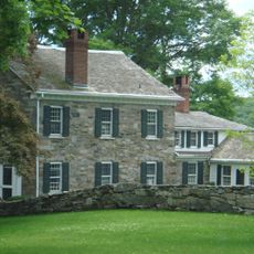
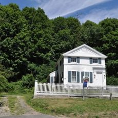
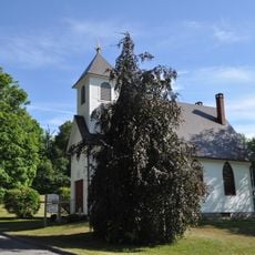
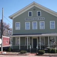
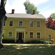
Sherman is a small town in Fairfield County, Connecticut, defined by open spaces, older buildings, and quiet streets. The place shows sparse settlement with homes surrounded by trees and several areas where visitors can experience nature directly.
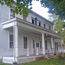
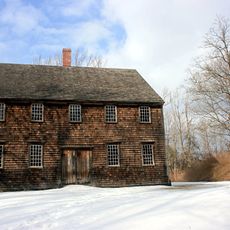
Sherman was established in the early 1800s and named after Roger Sherman from New Haven. The land was originally inhabited by native peoples before being sold to European settlers in the late 1720s following negotiations with indigenous leaders.
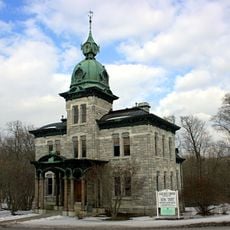
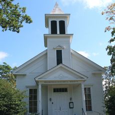
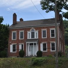
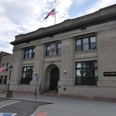
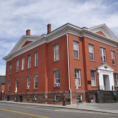
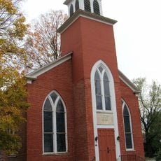
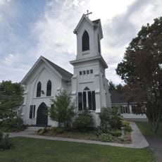
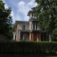
Sherman takes its name from Roger Sherman, a leader from New Haven, and this connection remains visible in how residents and visitors understand the town's identity. The Sherman Historic District shows how this heritage is remembered through old houses and streets that reflect the town's long past.
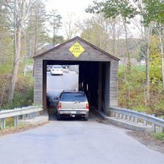
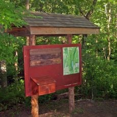
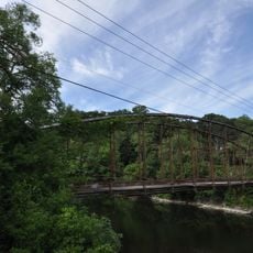
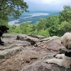
The Appalachian Trail runs through the northern section and offers hikers a quiet route through wooded areas. Nearby larger towns contain shops and services, so visitors should plan purchases and supplies before arriving.
Sherman is the only town in Fairfield County with the 860 area code, setting it apart from surrounding communities. This separation reflects how isolated and self-contained the place feels and how much residents value privacy and quiet living.
The community of curious travelers
AroundUs brings together thousands of curated places, local tips, and hidden gems, enriched daily by 60,000 contributors worldwide.