
Eastford, human settlement in Windham County, Connecticut, United States of America
Location: Northeastern Connecticut Planning Region
Location: Windham County
Inception: 1847
Elevation above the sea: 199 m
Website: http://www.townofeastford.org
Website: http://townofeastford.org
GPS coordinates: 41.89361,-72.09694
Latest update: March 16, 2025 00:00
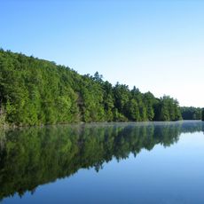
Bigelow Hollow State Park
12.6 km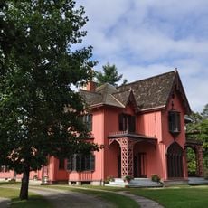
Roseland Cottage
11.7 km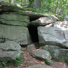
Israel Putnam Wolf Den
10.9 km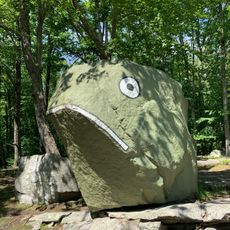
Frog Rock
4.6 km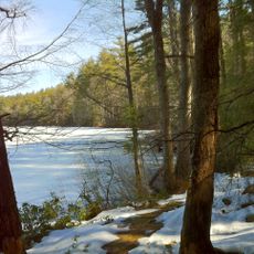
Nipmuck State Forest
12.1 km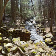
Natchaug State Forest
12.1 km
Mashamoquet Brook State Park
10.4 km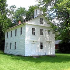
Ashford Academy
3.2 km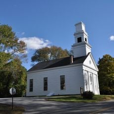
Abington Congregational Church
8.4 km
Pomfret Street Historic District
11 km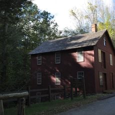
Brayton Grist Mill
11.8 km
Church Farm
8.6 km
Pomfret Town House
11.5 km
Woodstock Academy Classroom Building
11.9 km
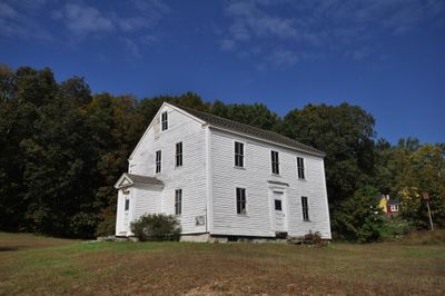
Benjamin Bosworth House
1.3 km
Woodstock Hill Historic District
11.9 km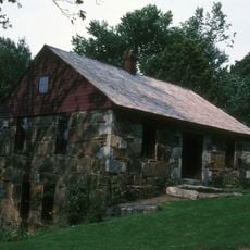
Gurleyville Historic District
13.7 km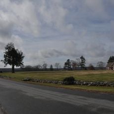
Bush Hill Historic District
14.3 km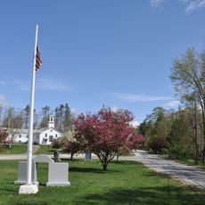
Union Green Historic District
11.9 km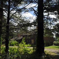
Taylor's Corner
9.4 km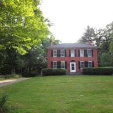
Witter House
11.2 km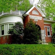
Chaplin Historic District
11.4 km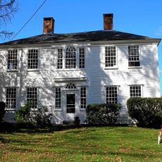
Sumner-Carpenter House
2.7 km
Hampton Hill Historic District
12.8 km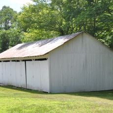
Natchaug Forest Lumber Shed
6.1 km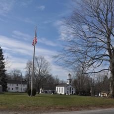
Willington Common Historic District
14 km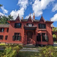
Roseland Cottage
11.8 km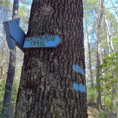
Natchaug Trail
12.1 kmReviews
Visited this place? Tap the stars to rate it and share your experience / photos with the community! Try now! You can cancel it anytime.
Discover hidden gems everywhere you go!
From secret cafés to breathtaking viewpoints, skip the crowded tourist spots and find places that match your style. Our app makes it easy with voice search, smart filtering, route optimization, and insider tips from travelers worldwide. Download now for the complete mobile experience.

A unique approach to discovering new places❞
— Le Figaro
All the places worth exploring❞
— France Info
A tailor-made excursion in just a few clicks❞
— 20 Minutes