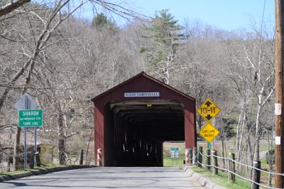
Cornwall, town in Litchfield County, Connecticut, United States of America
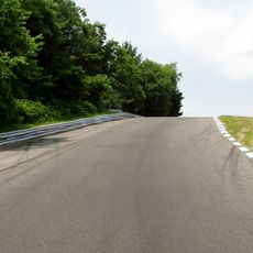
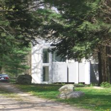
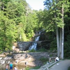
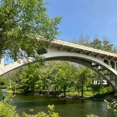
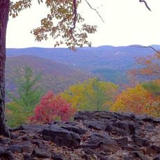
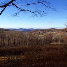
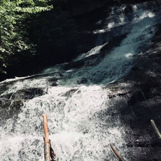
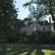
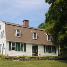
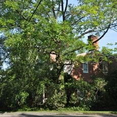
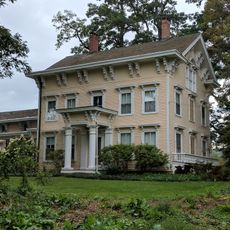
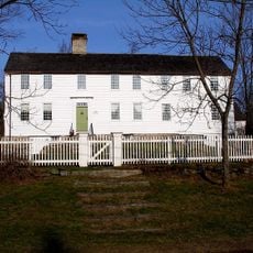
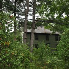
Cornwall is a small town in Litchfield County in northwestern Connecticut, defined by rolling hills, forests, and streams that run through the area. The landscape is hilly and wooded, with homes and businesses scattered across the terrain and several small village centers.
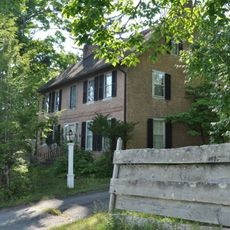
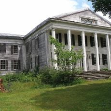
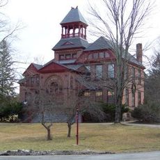
The town was founded in the 18th century and grew as an agricultural and manufacturing center. Iron ore deposits and waterpower fueled early industries, while traditional farms shaped the rural pattern.
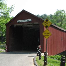
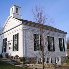
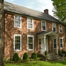
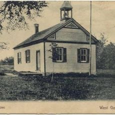
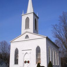
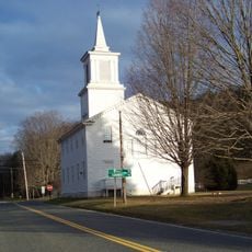
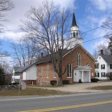
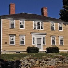
The town takes its name from the English county of Cornwall, reflecting the many English place names settlers brought to the region. Small village centers and churches serve as gathering points where locals continue to maintain community traditions.
The dispersed layout requires a car to explore different parts of the town. Spring and fall offer pleasant weather and showcase the landscape at its best.
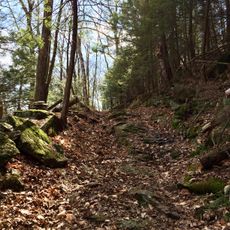
The region is known for its granite outcrops and metamorphic stones that were quarried in the 19th century for building materials. Historic quarry sites now return to nature, and traces of old stone extraction remain visible in the landscape.
The community of curious travelers
AroundUs brings together thousands of curated places, local tips, and hidden gems, enriched daily by 60,000 contributors worldwide.