Washington, Historical town in Litchfield County, United States
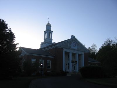
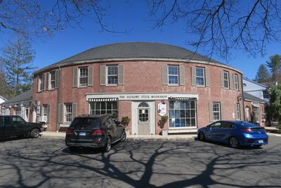
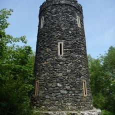
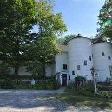
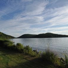
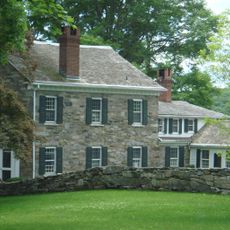
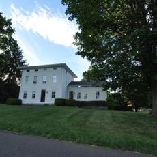
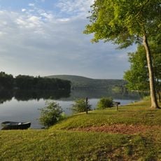
Washington is a town located in Litchfield County in the Northwest Hills region of Connecticut at approximately 152 meters in elevation. The community features residential neighborhoods interspersed with natural open spaces and woodland.
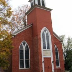
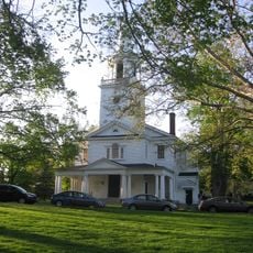
The town was founded in 1779 during the American Revolution as part of Connecticut's expanding settlements. It developed as an independent municipality with its own local governance.
The town carries different names across various languages and cultures, showing its recognition beyond its immediate region. This linguistic diversity reflects how the place connects with people around the world.
Local government information and community services can be accessed through the town's municipal website for reference and planning. The area is most accessible and pleasant to explore during the warmer months when roads and outdoor spaces are easily navigable.
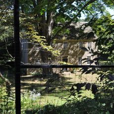
The town has preserved extensive records documenting its development since 1779, showing changes in settlement patterns and land use over time. These historical documents offer a rare window into how the place transformed over more than two centuries.
The community of curious travelers
AroundUs brings together thousands of curated places, local tips, and hidden gems, enriched daily by 60,000 contributors worldwide.