U.S. Route 1 in Maine, section of U.S. Numbered Highway in Maine, United States
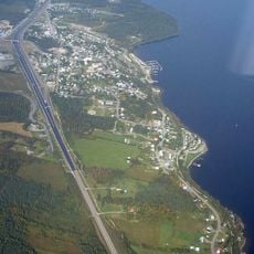
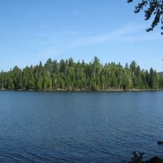
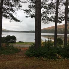
U.S. Route 1 in Maine is a major highway running from Fort Kent at the Canadian border south to Kittery, connecting coastal cities, small towns, and rural landscapes. It passes lighthouses, beaches, inland lakes, and forest areas while winding through diverse terrain from the northernmost regions to the Atlantic shore.
This highway was officially signed in 1927 as the first major north-south route in the country, with Fort Kent marking its northern terminus. The route follows paths that settlers and early travelers, possibly including George Washington, used to connect towns across Maine.
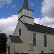
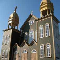
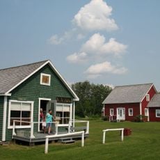
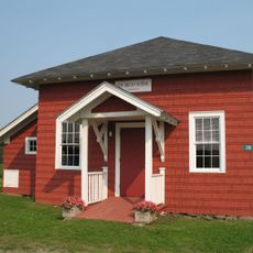
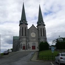
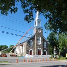
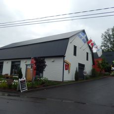
U.S. Route 1 passes through communities where French-Acadian heritage shapes local food and traditions, particularly in the north. Along the way, visitors encounter roadside eateries serving lobster rolls and fried clams, craft shops displaying work by local artisans, and small museums where regional stories are told and preserved.
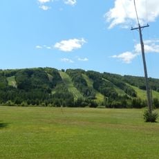
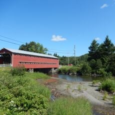
Traffic is heaviest from July through October when visitors peak, so traveling outside these months means fewer crowds on the road. The highway passes through diverse landscapes and town types, so drivers experience varying conditions from faster sections to winding coastal roads and quiet rural stretches with roadside dining and shops.
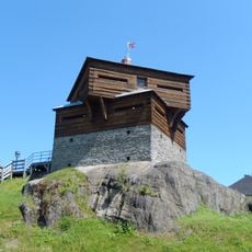
The route begins at a stone marker in Fort Kent that signifies the start of the country's first major highway, offering views of the Saint John River and the Canadian border. This historic landmark makes the northern terminus a meaningful stopping point for travelers who want to acknowledge the national importance of this original transportation route.
The community of curious travelers
AroundUs brings together thousands of curated places, local tips, and hidden gems, enriched daily by 60,000 contributors worldwide.