
Dunstable, human settlement in Middlesex County, Massachusetts, United States of America
Location: Middlesex County
Inception: 1656
Elevation above the sea: 68 m
Website: http://www.dunstable-ma.gov/
Website: http://dunstable-ma.gov
GPS coordinates: 42.67500,-71.48333
Latest update: March 2, 2025 20:50

Haystack Observatory
5.8 km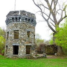
Bancroft's castle
9.7 km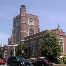
Nashua Public Library
9.9 km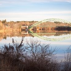
Tyngsborough Bridge
5.1 km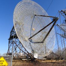
Millstone Hill Antenna
6.4 km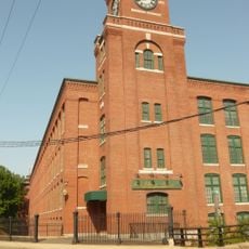
Nashua Manufacturing Company Historic District
9.5 km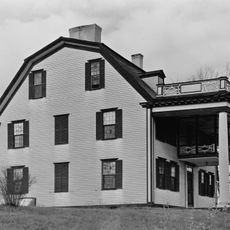
Col. Jonathan Tyng House
6.4 km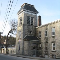
Graniteville Historic District
9 km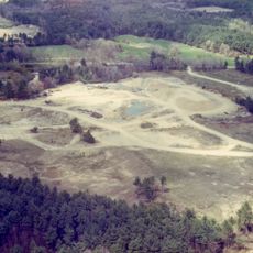
Charles-George Reclamation Trust Landfill
3.2 km
Hunt Memorial Library
9.1 km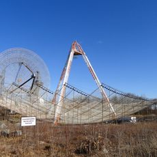
Millstone Hill Observatory
6.3 km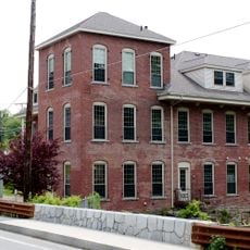
Brookside Historic District
9.3 km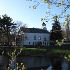
Old Town Hall
4.8 km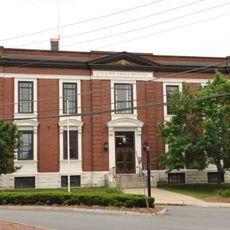
Hillsborough County Registry of Deeds
9.7 km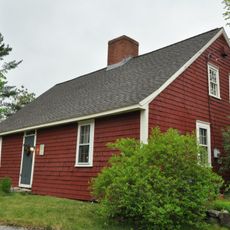
Killicut-Way House
6.4 km
Stony Brook
9.8 km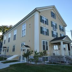
North Town Hall
9.3 km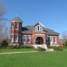
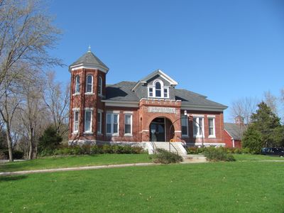
Dunstable Town Hall
275 m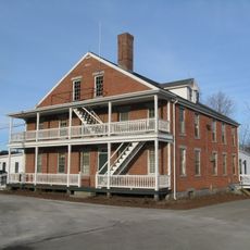
Westford Town Farm
9.9 km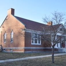
Winslow School and Littlefield Library
4.8 km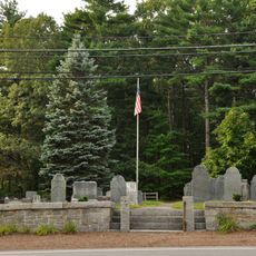
Wright Cemetery
7.5 km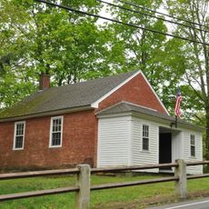
District 7 School
7.2 km
Pepperell Center Historic District
9.5 km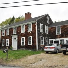
Bennett-Shattuck House
7.2 km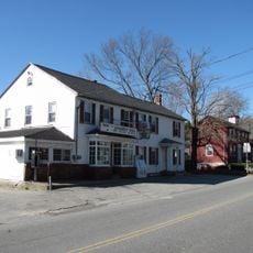
Dunstable Center Historic District
110 m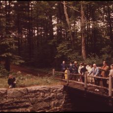
Mine Falls Park
8.6 km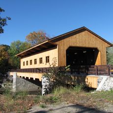
Pepperell Covered Bridge
7.5 km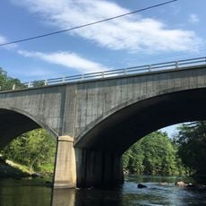
Runnels Bridge
6.8 kmReviews
Visited this place? Tap the stars to rate it and share your experience / photos with the community! Try now! You can cancel it anytime.
Discover hidden gems everywhere you go!
From secret cafés to breathtaking viewpoints, skip the crowded tourist spots and find places that match your style. Our app makes it easy with voice search, smart filtering, route optimization, and insider tips from travelers worldwide. Download now for the complete mobile experience.

A unique approach to discovering new places❞
— Le Figaro
All the places worth exploring❞
— France Info
A tailor-made excursion in just a few clicks❞
— 20 Minutes