Oxford, town in Worcester County, Massachusetts, United States of America
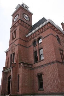
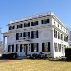
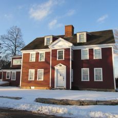
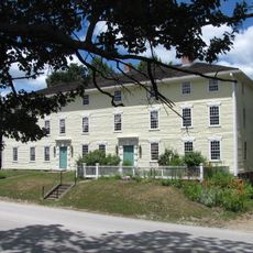
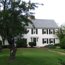
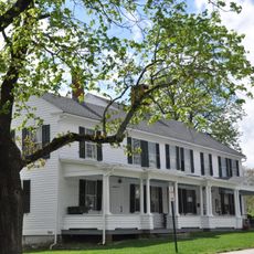
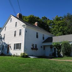
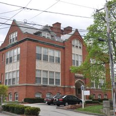
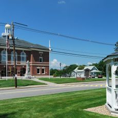
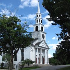
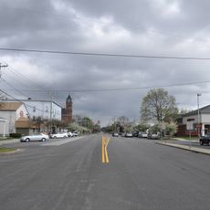
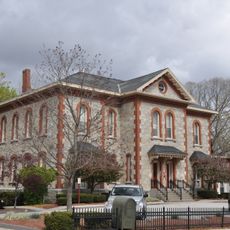
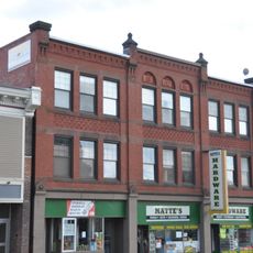
Oxford is a small town located in Worcester County, Massachusetts, about 11 miles south of Worcester. It features quiet, winding streets lined with well-maintained Greek Revival buildings, open neighborhoods, and a close-knit community feel that defines its character.
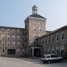
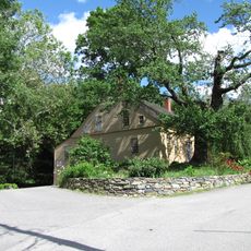
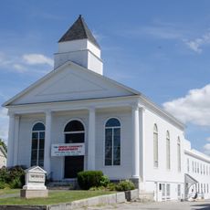
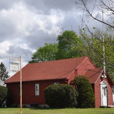
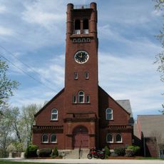
Oxford was established in the late 1600s by French Huguenot settlers along the French River. The town evolved during the 1800s from a farming community into a settled town with lasting structures, maintaining much of its character over generations.
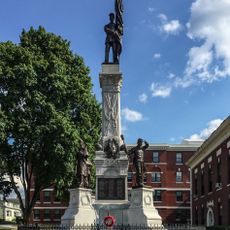
Oxford was founded by French Huguenot settlers in the late 1600s, and that heritage remains visible in local stories and landmarks today. The community takes pride in its notable residents, particularly Clara Barton and Elliot Joslin, whose contributions to American history are remembered through informal tributes and local narratives.
The main attractions are clustered close together and easily accessible on foot throughout the town center. Parking is available near most sites, and the compact size means you can explore the key spots in a few hours at a relaxed pace.
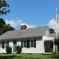
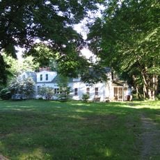
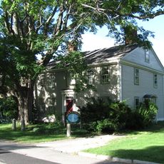
Clara Barton, founder of the American Red Cross, was born and raised here, and her childhood home is now a museum where visitors can learn about her influential life and work. Additionally, Elliot Joslin, one of the first American doctors to specialize in diabetes, came from Oxford and established what became the Joslin Diabetes Center.
The community of curious travelers
AroundUs brings together thousands of curated places, local tips, and hidden gems, enriched daily by 60,000 contributors worldwide.