
Sabetha, city in Kansas
Location: Kansas
Inception: 1854
Elevation above the sea: 402 m
Website: http://CityOfSabetha.com
GPS coordinates: 39.90310,-95.79940
Latest update: March 15, 2025 18:25
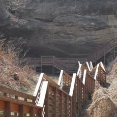
Indian Cave State Park
44.2 km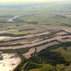
Big Lake State Park
43.9 km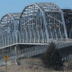
Rulo Bridge
36.4 km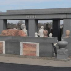
Davis Memorial
24.9 km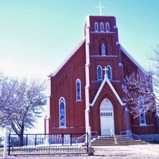
St. Bridget Church
40.2 km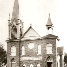
St. John's Evangelical Lutheran Church
48.3 km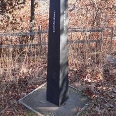
Site No. RH00-062
41.3 km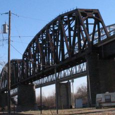
Rulo Rail Bridge
36.4 km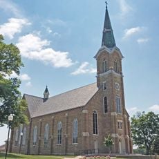
St. Mary's Church
25.6 km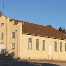
Rad Jan Kollar cis 101 Z.C.B.J.
28.4 km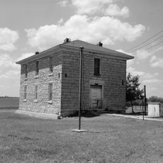
Old Albany Schoolhouse
4.4 km
Itha T. Krumme Memorial Arboretum
24.5 km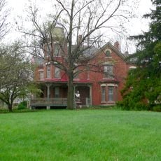
John Holman House
32.2 km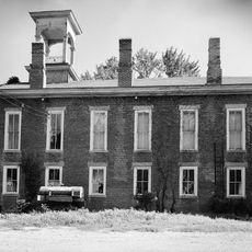
Irvin Hall
45.5 km
White Cloud Historic District
43.6 km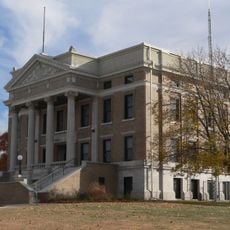
Pawnee County Courthouse
37.8 km
McFadden House
49.1 km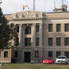
Richardson County Courthouse
24.4 km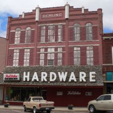
Gehling's Theatre
24.2 km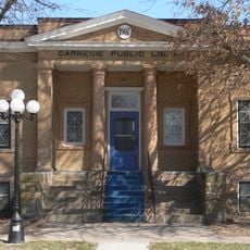
Pawnee City Carnegie Library
37.9 km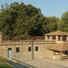
Holton Bath House
49 km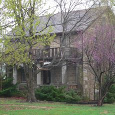
Lindsley House
39.8 km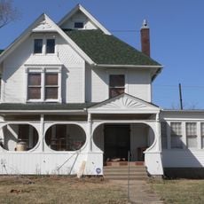
E. F. Hempstead House
38.3 km
Lake Nemaha Dam Guardrail
25.3 km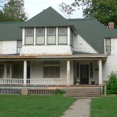
Gov. Arthur J. Weaver House
24.9 km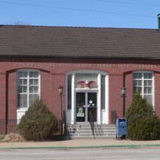
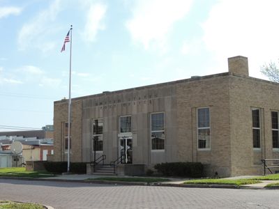
United States Post Office
37.9 km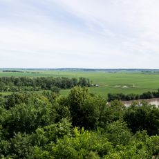
Four State Lookout
43.5 km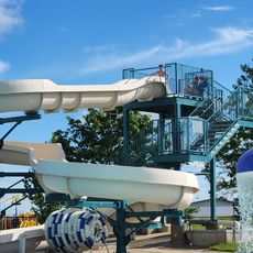
Hiawatha Aquatic Center
24.3 kmReviews
Visited this place? Tap the stars to rate it and share your experience / photos with the community! Try now! You can cancel it anytime.
Discover hidden gems everywhere you go!
From secret cafés to breathtaking viewpoints, skip the crowded tourist spots and find places that match your style. Our app makes it easy with voice search, smart filtering, route optimization, and insider tips from travelers worldwide. Download now for the complete mobile experience.

A unique approach to discovering new places❞
— Le Figaro
All the places worth exploring❞
— France Info
A tailor-made excursion in just a few clicks❞
— 20 Minutes