Middleborough

Log in to your account

AroundUs is a community-driven map of interesting places, built by curious explorers like you. It grows with every review, story, and photo you share.
Connect to save your favorite spots, contribute locations, and create personalized routes.
By continuing, you accept our Terms and Conditions and our Privacy Policy
Add to collection
Map
Suggest a change
Share

Middleborough, Rural town in Plymouth County, Massachusetts.

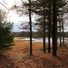
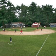
Middleborough is a town in Plymouth County, Massachusetts, characterized by an expansive landscape that includes rivers, forests, and agricultural land. The settlement pattern shows a traditional town center alongside residential neighborhoods and protected natural areas.

European settlers established the town in 1661 using the name Nemasket, derived from the Lenape language and referring to the fish populations of the local river. The settlement grew significantly over the following centuries as colonial and then American expansion shaped the region.

The town's identity remains tied to the Herring Run Festival, which celebrates the seasonal fish migration in the Nemasket River. This event reflects how the community continues to value its connection to the natural cycles that have shaped life here for generations.

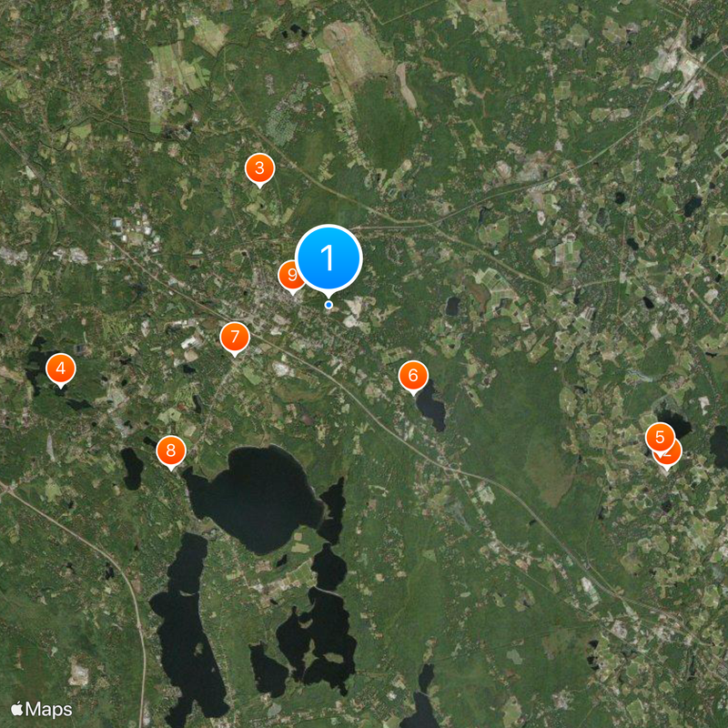
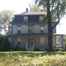
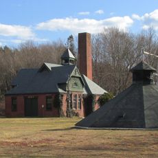
The town center offers access to administrative services and local facilities through its historic buildings and main thoroughfares. Visitors can navigate the area on foot in the downtown district or use roads to explore the broader community and its natural spaces.

The area maintains a strong connection to cranberry farming, with significant acreage devoted to this distinctive crop that thrives in the local wetlands. This agricultural focus has shaped both the landscape and the local economy in ways that remain visible today.

Location: Plymouth County

Inception: 1660

Elevation above the sea: 43 m

Website: http://middleborough.com

GPS coordinates: 41.88944,-70.89417

Latest update: December 6, 2025 22:09

Photos
Around this place
Show the full map
Edaville Railroad
United States of America

Edaville Railroad

11.2 km
Wat Nawamintararachutis
United States of America

Wat Nawamintararachutis

11.6 km
Tom Thumb House
United States of America

Tom Thumb House

4.1 km
Massasoit State Park
United States of America

Massasoit State Park

8.3 km
Parting Ways
United States of America

Parting Ways

14.7 km
Taunton Iron Works
United States of America

Taunton Iron Works

14.1 km
Sachem Rock Farm
United States of America

Sachem Rock Farm

15.1 km
Camp Avoda
United States of America

Camp Avoda

3.6 km
Walker School
United States of America

Walker School

13.2 km
N. S. Williams House
United States of America

N. S. Williams House

8.9 km
Harris Street Bridge
United States of America

Harris Street Bridge

14.6 km
King Airfield Hangar
United States of America

King Airfield Hangar

10.5 km
Town Hall
United States of America

Town Hall

6.7 km
Robbins Museum
United States of America

Robbins Museum

1.1 km
Dean-Barstow House
United States of America

Dean-Barstow House

12.9 km
Enoch Williams House
United States of America

Enoch Williams House

10.8 km
Jonathan Dean House
United States of America

Jonathan Dean House

14.5 km
C.P. Washburn Grain Mill
United States of America

C.P. Washburn Grain Mill

2.1 km
William H. McElwain School
United States of America

William H. McElwain School

13.9 km
Lloyd Dean House
United States of America

Lloyd Dean House

14.6 km
North Rochester Congregational Church
United States of America

North Rochester Congregational Church

11.9 km
Plympton Village Historic District
United States of America

Plympton Village Historic District

9.7 km
Middleborough Center Historic District
United States of America

Middleborough Center Historic District

1.5 km
United States Post Office–Middleborough Main
United States of America

United States Post Office–Middleborough Main

1.4 km
Old Colony Iron Works-Nemasket Mills Complex
United States of America

Old Colony Iron Works-Nemasket Mills Complex

11 km
Silver City Galliera 10
United States of America

Silver City Galliera 10

13.2 km
Middleborough Waterworks
United States of America

Middleborough Waterworks

376 m
Great Quittacas Pond
United States of America

Great Quittacas Pond

9.7 km
Show the full map
Reviews

Visited this place? Tap the stars to rate it and share your experience / photos with the community! Try now! You can cancel it anytime.

« Middleborough - Rural town in Plymouth County, Massachusetts » is provided by Around Us (aroundus.com). Images and texts are derived from Wikimedia project under a Creative Commons license. You are allowed to copy, distribute, and modify copies of this page, under the conditions set by the license, as long as this note is clearly visible.

Discover hidden gems everywhere you go!

From secret cafés to breathtaking viewpoints, skip the crowded tourist spots and find places that match your style. Our app makes it easy with voice search, smart filtering, route optimization, and insider tips from travelers worldwide. Download now for the complete mobile experience.

Around Us App Screenshot

A unique approach to discovering new places

Le Figaro

All the places worth exploring

France Info

A tailor-made excursion in just a few clicks

20 Minutes