Plymouth County

Log in to your account

AroundUs is a community-driven map of interesting places, built by curious explorers like you. It grows with every review, story, and photo you share.
Connect to save your favorite spots, contribute locations, and create personalized routes.
By continuing, you accept our Terms and Conditions and our Privacy Policy
Add to collection
Map
Suggest a change
Share

Plymouth County, County in southeastern Massachusetts, United States.

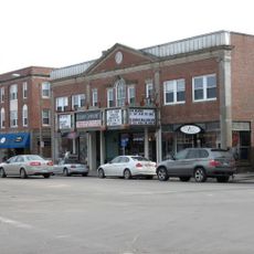
Plymouth County is an administrative division in southeastern Massachusetts that stretches along the coast of Cape Cod Bay, covering both urban centers and rural towns. The region combines extensive shoreline with wooded inland areas and maintains two administrative seats in Plymouth and Brockton.

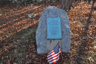
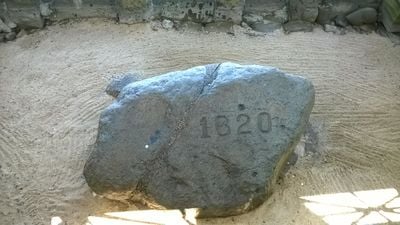
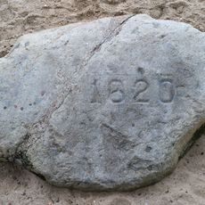
The administrative division was created in 1685 and takes its name from the town where European settlers first came ashore in 1620. This early arrival shaped the development of the entire region and made it a starting point for English colonization of New England.

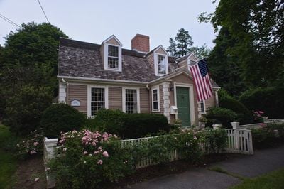
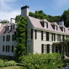
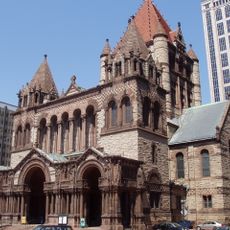
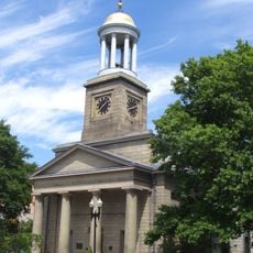
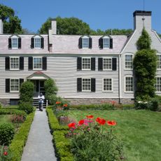
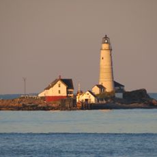
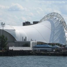
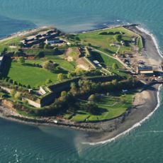
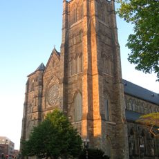
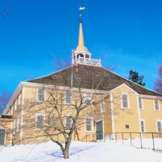
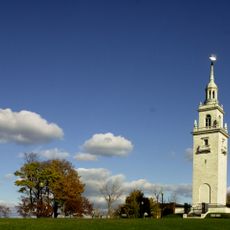
The name honors the first permanent English settlement in New England and appears throughout the region in preserved colonial buildings and local traditions. Visitors encounter seaside towns and fishing communities that maintain their connection to the ocean through working harbors and coastal ways of life.

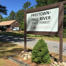
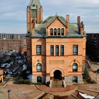
The administrative seats in Plymouth and Brockton provide access to information and services for visitors seeking to learn about the region. Travelers benefit from exploring both the coastline and inland areas to experience the shift between beaches, woodlands and towns.

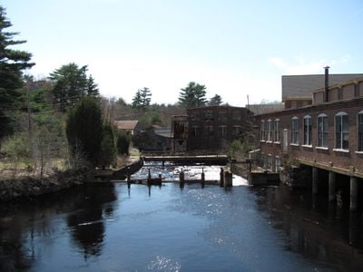
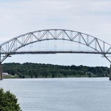
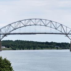
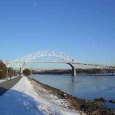
Nearly half of the entire area consists of water surfaces, making this one of the most water-rich administrative divisions in the state. This large distribution of bays, rivers and coastal waters shapes the landscape and daily life of many communities.

Location: Massachusetts

Inception: 1685

Capital city: Plymouth

Shares border with: Norfolk County, Barnstable County, Bristol County, Dukes County

Website: http://plymouthcounty-ma.gov

GPS coordinates: 41.97888,-70.81895

Latest update: December 12, 2025 08:04

Photos
Around this place
Plymouth Rock
United States of America

Plymouth Rock

13.2 km
John Hancock Tower
United States of America

John Hancock Tower

46.3 km
John F. Kennedy Presidential Library and Museum
United States of America

John F. Kennedy Presidential Library and Museum

41.3 km
Museum of Bad Art
United States of America

Museum of Bad Art

43.2 km
Cape Cod Canal
United States of America

Cape Cod Canal

31.5 km
National Monument to the Forefathers
United States of America

National Monument to the Forefathers

12 km
Peacefield
United States of America

Peacefield

34.7 km
Mayflower II
United States of America

Mayflower II

13.2 km
Trinity Church
United States of America

Trinity Church

46.4 km
Copley Square
United States of America

Copley Square

46.4 km
United First Parish Church
United States of America

United First Parish Church

33.9 km
Adams National Historical Park
United States of America

Adams National Historical Park

34.7 km
Edaville Railroad
United States of America

Edaville Railroad

15.3 km
Institute of Contemporary Art, Boston
United States of America

Institute of Contemporary Art, Boston

45.5 km
Edward M. Kennedy Institute for the United States Senate
United States of America

Edward M. Kennedy Institute for the United States Senate

41.4 km
Wang Theatre
United States of America

Wang Theatre

46 km
Old South Church
United States of America

Old South Church

46.5 km
Boston Light
United States of America

Boston Light

39.3 km
Leader Bank Pavilion
United States of America

Leader Bank Pavilion

44.9 km
Sagamore Bridge
United States of America

Sagamore Bridge

32.1 km
South Coast
United States of America

South Coast

39.7 km
Fort Warren
United States of America

Fort Warren

39.1 km
Freetown Fall River State Forest
United States of America

Freetown Fall River State Forest

28.9 km
Cathedral of the Holy Cross
United States of America

Cathedral of the Holy Cross

45.3 km
Old Ship Church
United States of America

Old Ship Church

29.7 km
Dorchester Heights
United States of America

Dorchester Heights

43.6 km
Nantasket Beach
United States of America

Nantasket Beach

32.6 km
Bourne Bridge
United States of America

Bourne Bridge

32 km
Show the full map
Reviews

Visited this place? Tap the stars to rate it and share your experience / photos with the community! Try now! You can cancel it anytime.

Administrative divisions
« Plymouth County - County in southeastern Massachusetts, United States » is provided by Around Us (aroundus.com). Images and texts are derived from Wikimedia project under a Creative Commons license. You are allowed to copy, distribute, and modify copies of this page, under the conditions set by the license, as long as this note is clearly visible.

Discover hidden gems everywhere you go!

From secret cafés to breathtaking viewpoints, skip the crowded tourist spots and find places that match your style. Our app makes it easy with voice search, smart filtering, route optimization, and insider tips from travelers worldwide. Download now for the complete mobile experience.

Around Us App Screenshot

A unique approach to discovering new places

Le Figaro

All the places worth exploring

France Info

A tailor-made excursion in just a few clicks

20 Minutes