North Vernon, city in Indiana, United States
Location: Jennings County
Elevation above the sea: 219 m
GPS coordinates: 39.00500,-85.62780
Latest update: March 9, 2025 03:51

Muscatatuck Urban Training Center
9.5 km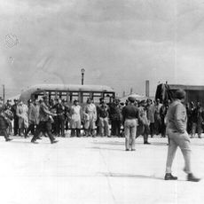
Freeman Field Mutiny
25.9 km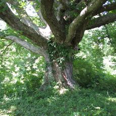
Big Oaks National Wildlife Refuge
20.6 km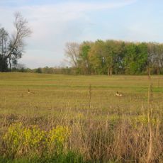
Muscatatuck National Wildlife Refuge
17.5 km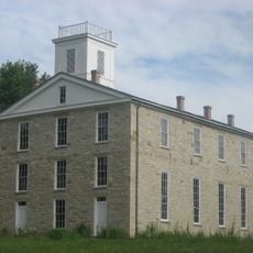
Eleutherian College
21.7 km
Mabel McDowell Adult Education Center
31.6 km
Bell Ford Covered Bridge
26.3 kmStream Cliff Farm
15.6 km
Straber Ford Bridge
27.9 km
First Presbyterian Church
23.4 km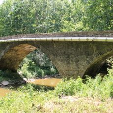
Collin's Ford Bridge
22.3 km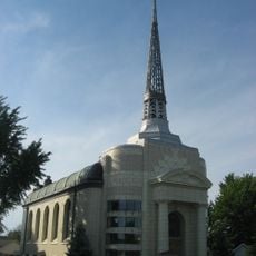
Tyson United Methodist Church
33.2 km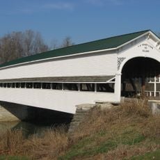
Westport Covered Bridge
19.4 km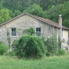
Lyman and Asenath Hoyt House
21.4 km
Versailles School and Tyson Auditorium
33.1 km
Annadale
869 m
Bartholomew County Annex building
31.8 km
Rising Sun Historic District
20.4 km
Farmers Club
23.2 km
George H. Vehslage House
23.4 km
Seymour Commercial Historic District
23.2 km
T. Harlan and Helen Montgomery House
23.5 km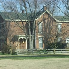
David Aikens House
32.2 km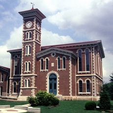
Vernon Historic District
2.9 km
Hayden Historical Museum
9.6 km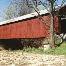
James Covered Bridge
12.5 km
Clifty Creek Bridge
29.1 km
Shepard Bridge
24.2 kmVisited this place? Tap the stars to rate it and share your experience / photos with the community! Try now! You can cancel it anytime.
Discover hidden gems everywhere you go!
From secret cafés to breathtaking viewpoints, skip the crowded tourist spots and find places that match your style. Our app makes it easy with voice search, smart filtering, route optimization, and insider tips from travelers worldwide. Download now for the complete mobile experience.

A unique approach to discovering new places❞
— Le Figaro
All the places worth exploring❞
— France Info
A tailor-made excursion in just a few clicks❞
— 20 Minutes