
Louisville, city in Cass County, Nebraska, United States
Location: Cass County
Elevation above the sea: 324 m
Website: http://louisvillenebraska.com
GPS coordinates: 40.99940,-96.15970
Latest update: April 1, 2025 20:03
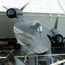
Strategic Air and Space Museum
13.6 km
Eugene T. Mahoney State Park
13.3 km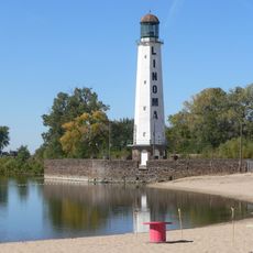
Linoma Beach
15.1 km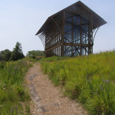
Holy Family Shrine
13 km
Platte River State Park
4.4 km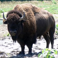
Lee G. Simmons Conservation Park and Wildlife Safari
11.9 km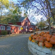
Vala's Pumpkin Patch
14.8 km
The Amazing Pizza Machine
22.7 km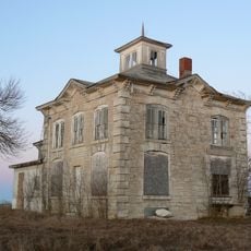
Israel Beetison House
16.7 km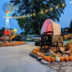
Bellevue Berry Farm and Pumpkin Ranch
22.1 km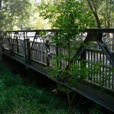
Mynard Road Bridge
7.2 km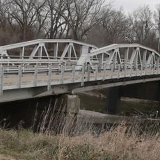
Ashland Bridge
17.8 km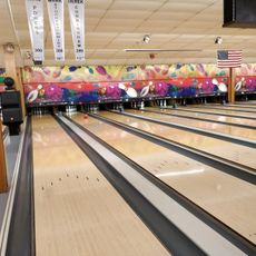
Western Bowl
23.9 km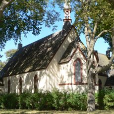
St. Stephen's Episcopal Church
18.3 km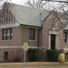
Ashland Public Library
18.2 km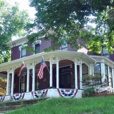
Velosco V. Leonard House
23 km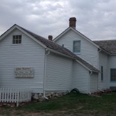
John Sautter Farmhouse
20.2 km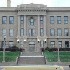
Third Sarpy County Courthouse
20.3 km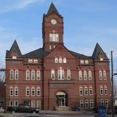
Cass County Courthouse
23.2 km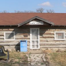
Nehawka Public Library
23.8 km
Young Cemetery Cabin
22.4 km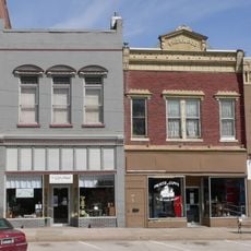
Plattsmouth Main Street Historic District
23.2 km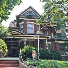
George E. Dovey House
23.2 km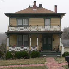
Capt. John O'Rourke House
23 km
National Bank of Ashland
18.1 km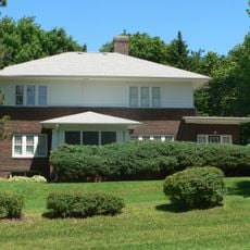
The Elms
20.5 km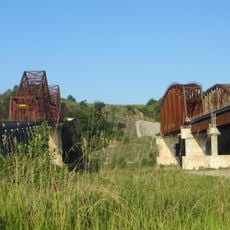
Plattsmouth Railroad Bridge
24.6 km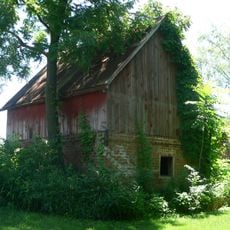
Gottfried Gustav Pitz Barn
23.9 kmVisited this place? Tap the stars to rate it and share your experience / photos with the community! Try now! You can cancel it anytime.
Discover hidden gems everywhere you go!
From secret cafés to breathtaking viewpoints, skip the crowded tourist spots and find places that match your style. Our app makes it easy with voice search, smart filtering, route optimization, and insider tips from travelers worldwide. Download now for the complete mobile experience.

A unique approach to discovering new places❞
— Le Figaro
All the places worth exploring❞
— France Info
A tailor-made excursion in just a few clicks❞
— 20 Minutes