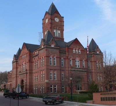
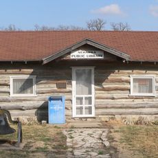
Cass County, County seat in eastern Nebraska, United States
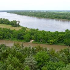
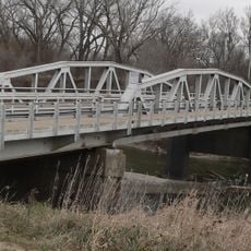
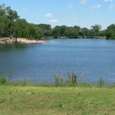
Cass County is an administrative region in Nebraska that extends along the Missouri and Platte rivers and includes several smaller communities. The landscape features gentle rolling terrain and broad river valleys, where farmland alternates with open spaces.
The county was established in 1854 and named after General Lewis Cass, a prominent figure in debates about the nation's westward expansion. Its creation marked a turning point in the settlement of this river-valley region.
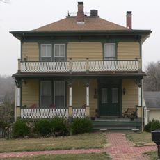
The region remains connected to farming traditions that visitors can observe in how the land is used and how communities gather around seasonal activities. This rural heritage shapes the daily rhythm and gives the area its distinctive character rooted in self-sufficiency and stewardship of the landscape.
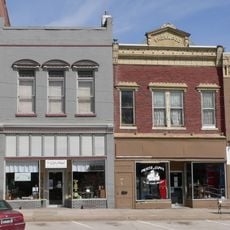
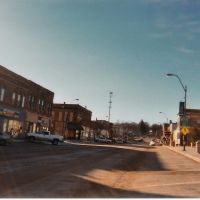
The region is easily explored by car, with main services and administration centered in Plattsmouth. Plan a full day to visit multiple towns comfortably, as settlements are spread across the countryside.
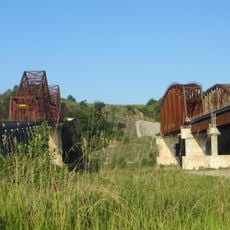
The town of Weeping Water got its name from a mistranslation of an Oto word meaning rustling water, referring to the sounds of the flowing river. This linguistic accident remains a quirk of local history.
The community of curious travelers
AroundUs brings together thousands of curated places, local tips, and hidden gems, enriched daily by 60,000 contributors worldwide.