
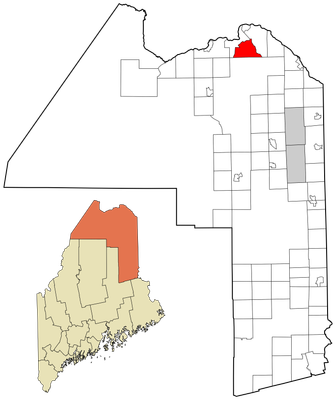
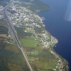
St. Agatha, human settlement in Aroostook County, Maine, United States of America
Location: Aroostook County
Elevation above the sea: 241 m
Website: http://stagatha.com
GPS coordinates: 47.24167,-68.33944
Latest update: March 8, 2025 09:46
Notre-Dame-du-Lac
52.9 km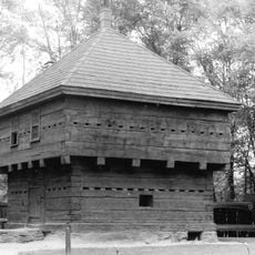
Fort Kent
19 km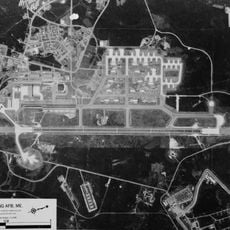
Loring Commerce Centre
47.3 km
Aroostook National Wildlife Refuge
48.2 km
New Brunswick Botanical Garden
22.8 km
Loring Air Force Base Double Cantilever Hangar
48.2 km
Loring Air Force Base Arch Hangar
47.7 km
National Weather Service Caribou, Maine
48.3 km
Acadian Landing Site
13.3 km
Gustaf Adolph Lutheran Church
37.6 km
Musée Culturel du Mont-Carmel
18 km
Mont Farlagne
18.2 km
Gray Memorial United Methodist Church and Parsonage
49 km
Acadian Village
26.7 km
Zec Owen
50.3 km
Branche à Jerry
29 km
Governor Brann School
31.5 km
De la République Provincial Park
22.3 km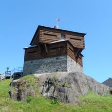
P'tit Sault Blockhouse
13.6 km
Avro Lancaster KB882
29.1 km
Cathédrale de l'Immaculée-Conception d'Edmundston
13.5 km
Pont Romain-Caron
33.4 km
Mont Farlagne
18.2 km
Sainte-Rose Church
41.2 km
Isaie and Scholastique Martin House
12.6 km
Saint-Jean-de-la-Lande Church
32.8 km
Simon-Larouche Pavilion
14.5 km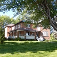
Presbytère de Dégelis
41.2 kmReviews
Visited this place? Tap the stars to rate it and share your experience / photos with the community! Try now! You can cancel it anytime.
Discover hidden gems everywhere you go!
From secret cafés to breathtaking viewpoints, skip the crowded tourist spots and find places that match your style. Our app makes it easy with voice search, smart filtering, route optimization, and insider tips from travelers worldwide. Download now for the complete mobile experience.

A unique approach to discovering new places❞
— Le Figaro
All the places worth exploring❞
— France Info
A tailor-made excursion in just a few clicks❞
— 20 Minutes