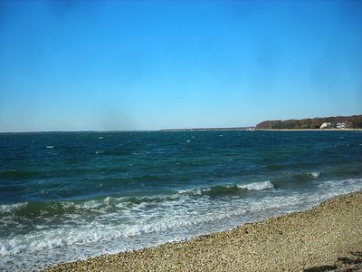
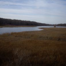
Peconic Bay, Coastal bay between North Fork and South Fork, Long Island, United States.
Peconic Bay is a bay system on the eastern end of Long Island, New York, divided into Great Peconic Bay and Little Peconic Bay by Robins Island. The bay sits between the North Fork and the South Fork, two narrow peninsulas that frame the water on either side.
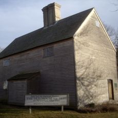
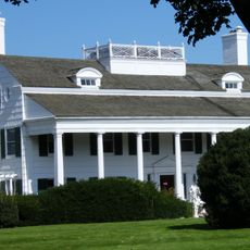
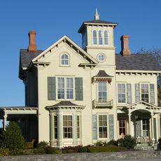
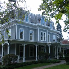
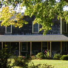
The Shinnecock and other Native peoples relied on the bay for food and trade for centuries before English settlers arrived in the 1600s. Over time, whaling and maritime commerce shaped the towns along the shore and left a lasting mark on the area's character.
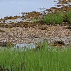
The towns along the shore have long depended on shellfishing and fishing, and working docks with boats tied up are a common sight throughout the area. Local seafood, especially oysters and clams, is sold directly at small stands near the water.
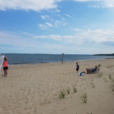
Several public boat launches and shore access points are spread around the bay, making it easy to reach the water for fishing, swimming, or boating. Summer draws the most visitors, while fall and spring offer quieter conditions for birdwatching and kayaking.
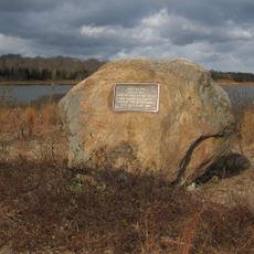
Robins Island, which divides the two parts of the bay, is privately owned and has no public access, making it one of the few large undeveloped islands along the northeastern coast of the United States. Boaters passing nearby can see the wooded shoreline up close, but landing there is not permitted.
The community of curious travelers
AroundUs brings together thousands of curated places, local tips, and hidden gems, enriched daily by 60,000 contributors worldwide.