
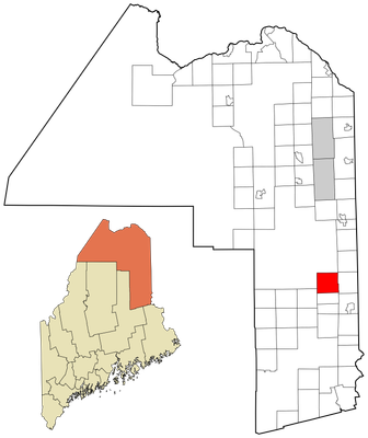
Hammond, town in Maine
Location: Aroostook County
Elevation above the sea: 204 m
GPS coordinates: 46.23667,-67.95722
Latest update: May 4, 2025 20:12
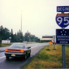
Houlton–Woodstock border crossing
17.6 km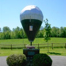
Double Eagle II
43.7 km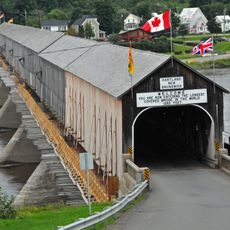
Hartland Bridge
33.5 km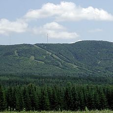
Mars Hill
33.6 km
Meductic Indian Village / Fort Meductic
44.5 km
Fort Fairfield - Andover Border Crossing
60.2 km
Mark and Emily Turner Memorial Library
49.5 km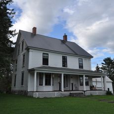
William Sewall House
35 km
Watson Settlement Bridge
12.4 km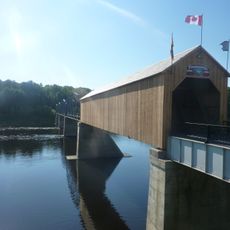
Florenceville Bridge
34.5 km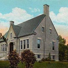
Cary Library
15.5 km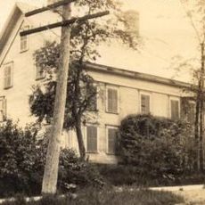
Blackhawk Putnam Tavern
14.9 km
Aroostook County Courthouse and Jail
15.4 km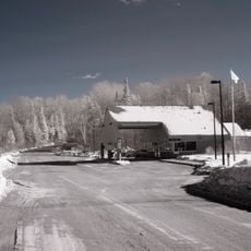
Orient – Fosterville Border Crossing
48.7 km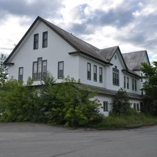
Island Falls Opera House
35 km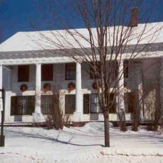
Charles Connell House
30.9 km
L. P. Fisher Public Library
31.1 km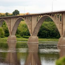
Hugh John Flemming Bridge
33 km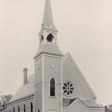
Unitarian Church of Houlton
15.6 km
Aroostook County Historical and Art Museum
15.4 km
Market Square Historic District
15.3 km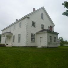
Old Carleton County Court House
30.2 km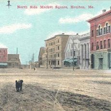
First National Bank of Houlton
15.3 km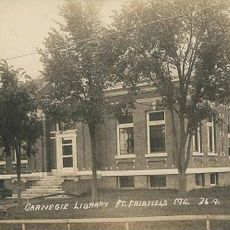
Fort Fairfield Public Library
60.4 km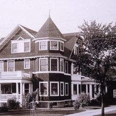
Philo Reed House
60 km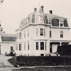
Walter P. Mansur House
15.2 km
Oakfield Grange, No. 414
21.5 km
Potato World
33.4 kmReviews
Visited this place? Tap the stars to rate it and share your experience / photos with the community! Try now! You can cancel it anytime.
Discover hidden gems everywhere you go!
From secret cafés to breathtaking viewpoints, skip the crowded tourist spots and find places that match your style. Our app makes it easy with voice search, smart filtering, route optimization, and insider tips from travelers worldwide. Download now for the complete mobile experience.

A unique approach to discovering new places❞
— Le Figaro
All the places worth exploring❞
— France Info
A tailor-made excursion in just a few clicks❞
— 20 Minutes