Enable Location

We need your location to show you interesting places around you

Discover nearby places

Find interesting locations and hidden gems around you

Precise directions

Get accurate directions and distances to places

Your location is never shared with other users. It's only used when you tap the location button.

Bonny Doon

Log in to your account

Start exploring — it's free

Trusted by 65,561 travelers worldwide

Continue with Google
Continue with Apple
or

We will send you a code to connect

By continuing, you accept our Terms and Conditions and our Privacy Policy

Check your inbox

We've sent a pincode in your inbox. Please enter the code below.

Discussion Reviews 1 Photos
15.4k Popularity

Bonny Doon, Census-designated place in Santa Cruz County, California

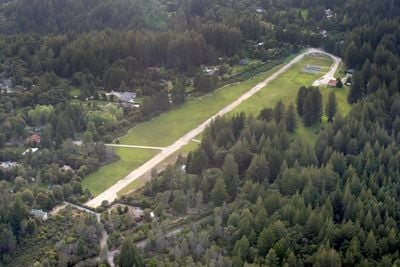
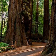
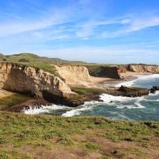
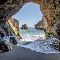
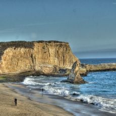
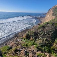
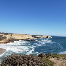
Bonny Doon is a mountain settlement in Santa Cruz County that spreads across a forested landscape at roughly 1,500 feet elevation. The terrain combines redwood forests with maritime chaparral vegetation typical of the California coast mountains.

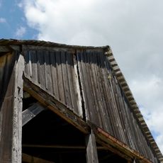
The area began as a logging camp during the 1850s gold rush era when timber harvesting was central to regional development. The name came in 1902 when resident John Burns took inspiration from a Scottish poet's song.

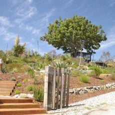
The community includes working wineries and a lavender farm that reflect the area's agricultural traditions, alongside an ecological reserve protecting the forest.

The area is hilly and heavily forested with limited cell phone service due to the mountainous terrain and dense trees. Visitors should prepare for unpaved roads and expect limited commercial services away from main routes.

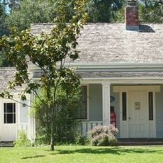
A prominent science fiction author built a home here in the mid-1960s and made it his residence for decades. Though his house remains private, it adds an unexpected literary connection to the rural mountain community.

The community of curious travelers

AroundUs brings together thousands of curated places, local tips, and hidden gems, enriched daily by 60,000 contributors worldwide.

Start exploring
GPS coordinates
37.04361,-122.13694
Latest update
December 7, 2025 19:30
Around this place
Henry Cowell Redwoods State Park
United States of America

Henry Cowell Redwoods State Park

8.3 km
Roaring Camp and Big Trees Narrow Gauge Railroad
United States of America

Roaring Camp and Big Trees Narrow Gauge Railroad

6.6 km
Wilder Ranch State Park
United States of America

Wilder Ranch State Park

7.5 km
Natural Bridges State Marine Reserve
United States of America

Natural Bridges State Marine Reserve

9.7 km
College Eight
United States of America

College Eight

8.7 km
Felton Covered Bridge
United States of America

Felton Covered Bridge

5.9 km
McHenry Library
United States of America

McHenry Library

8.7 km
Coast Dairies
United States of America

Coast Dairies

7.5 km
Cowell Lime Works
United States of America

Cowell Lime Works

10.5 km
Arboretum at the University of California, Santa Cruz
United States of America

Arboretum at the University of California, Santa Cruz

9.6 km
California Powder Works Bridge
United States of America

California Powder Works Bridge

9.1 km
Bigfoot Discovery Museum
United States of America

Bigfoot Discovery Museum

5.7 km
Shark Fin Cove Beach
United States of America

Shark Fin Cove Beach

6.2 km
Hiram D. Scott House
United States of America

Hiram D. Scott House

10.7 km
Grace Episcopal Church
United States of America

Grace Episcopal Church

8.3 km
Felton Presbyterian Church
United States of America

Felton Presbyterian Church

5.7 km
Davenport Beach
United States of America

Davenport Beach

6.4 km
Davenport Landing Beach
United States of America

Davenport Landing Beach

7.4 km
Visitor Center | Henry Cowell Redwoods State Park
United States of America

Visitor Center | Henry Cowell Redwoods State Park

6.5 km
Felton Presbyterian Church
United States of America

Felton Presbyterian Church

5.7 km
Yellowbank Beach
United States of America

Yellowbank Beach

6.4 km
Four Mile Beach
United States of America

Four Mile Beach

8.7 km
Shark Fin Cove (California)
United States of America

Shark Fin Cove (California)

6.2 km
Laguna Creek Beach
United States of America

Laguna Creek Beach

7 km
Scott Creek Beach
United States of America

Scott Creek Beach

8.3 km
Panther Beach
United States of America

Panther Beach

6.4 km
China Ladder Beach
United States of America

China Ladder Beach

11 km
Three Mile Beach
United States of America

Three Mile Beach

9.4 km
Show the full map
Reviews
Share your experience

No review yet

Discussions
Start a discussion...

No discussion yet

« Bonny Doon - Census-designated place in Santa Cruz County, California » is provided by Around Us (aroundus.com). Images and texts are derived from Wikimedia project under a Creative Commons license. You are allowed to copy, distribute, and modify copies of this page, under the conditions set by the license, as long as this note is clearly visible.

Discover hidden gems everywhere you go!

From secret cafés to breathtaking viewpoints, skip the crowded tourist spots and find places that match your style. Our app makes it easy with voice search, smart filtering, route optimization, and insider tips from travelers worldwide. Download now for the complete mobile experience.

Around Us App Screenshot

A unique approach to discovering new places

Le Figaro

All the places worth exploring

France Info

A tailor-made excursion in just a few clicks

20 Minutes

Around Us
Travel Guide & Maps
Download

Send to your phone

QR Code
1

Open the camera app on your mobile.

2

Point at the QR code with your camera. A notification will appear.

3

Tap the notification to open the link.