Enable Location

We need your location to show you interesting places around you

Discover nearby places

Find interesting locations and hidden gems around you

Precise directions

Get accurate directions and distances to places

Your location is never shared with other users. It's only used when you tap the location button.

Log in to your account

Start exploring — it's free

Trusted by 65,328 travelers worldwide

Continue with Google
Continue with Apple
or

We will send you a code to connect

By continuing, you accept our Terms and Conditions and our Privacy Policy

Check your inbox

We've sent a pincode in your inbox. Please enter the code below.

Discussion Reviews Photo
15.7k Popularity

Falling Waters, Census-designated place in Berkeley County, West Virginia, United States.

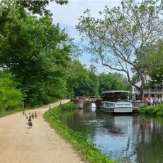
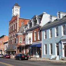
Falling Waters is a census-designated place in Berkeley County, West Virginia, situated north of Martinsburg near the Potomac River. The community stretches along Williamsport Pike and encompasses residential neighborhoods within this rural part of the state.

The area gained military importance during the Civil War, serving as the site of two significant battles in 1861 and 1863. These conflicts, including the Battle of Hoke's Run and Battle of Williamsport, shaped the region's historical significance.

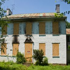
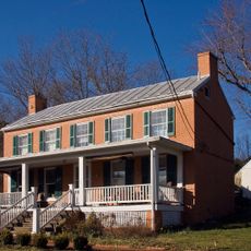
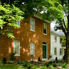
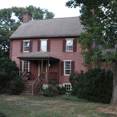
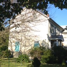
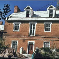
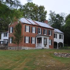
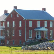
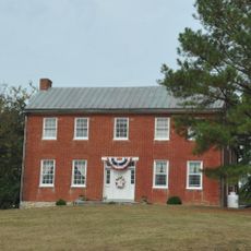
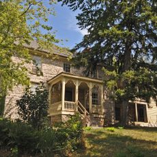
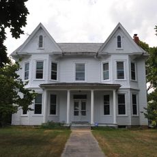
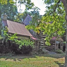
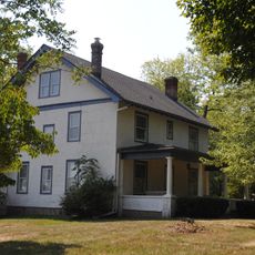
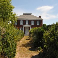
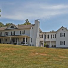
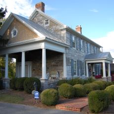
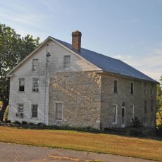
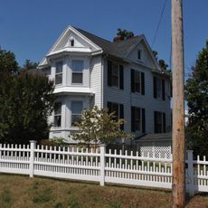
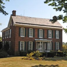
The community maintains several historical residences, with structures such as the Edward Colston House on Tice Road and Harmony Cemetery on Nestle Quarry Road.

The area is easily accessible by road and offers typical rural infrastructure for visitors. Those wanting to explore historical sites should travel by car or on foot, as locations are spread across wider distances.

Scientific American reported in 1887 that the first railroad in the United States was built at this location in 1814. This claim connects the small community to an important chapter in American railroad history.

The community of curious travelers

AroundUs brings together thousands of curated places, local tips, and hidden gems, enriched daily by 60,000 contributors worldwide.

Start exploring
Location
GPS coordinates
39.55920,-77.89080
Latest update
December 7, 2025 19:29
Around this place
Chesapeake and Ohio Canal
United States of America

Chesapeake and Ohio Canal

5.3 km
Maidstone-on-the-Potomac
United States of America

Maidstone-on-the-Potomac

6.3 km
George Washington Hollida House
United States of America

George Washington Hollida House

9.7 km
Springfield Farm
United States of America

Springfield Farm

7.7 km
Swan Pond Manor Historic District
United States of America

Swan Pond Manor Historic District

10 km
Swan Pond
United States of America

Swan Pond

10 km
Jones Mill Run Historic District
United States of America

Jones Mill Run Historic District

9.6 km
Owen Tudor Hedges House
United States of America

Owen Tudor Hedges House

5.2 km
Edward Colston House
United States of America

Edward Colston House

4.3 km
White Bush
United States of America

White Bush

1.9 km
Williamsport Historic District
United States of America

Williamsport Historic District

7.5 km
Harlan Spring Historic District
United States of America

Harlan Spring Historic District

5.7 km
Priscilla Strode Turner House
United States of America

Priscilla Strode Turner House

4.2 km
Hedgesville Historic District
United States of America

Hedgesville Historic District

8.9 km
Marlowe Consolidated School
United States of America

Marlowe Consolidated School

4.1 km
Elmwood
United States of America

Elmwood

8.2 km
Charles Downs II House
United States of America

Charles Downs II House

1.4 km
Spring Mills Historic District
United States of America

Spring Mills Historic District

5.4 km
Hedges-Lemen House
United States of America

Hedges-Lemen House

7.9 km
Elizabeth Kunkel House
United States of America

Elizabeth Kunkel House

9.4 km
Hughes-Cunningham House
United States of America

Hughes-Cunningham House

6.5 km
Overlook
United States of America

Overlook

5.9 km
Teter Myers French House
United States of America

Teter Myers French House

6.6 km
Hedges-Robinson-Myers House
United States of America

Hedges-Robinson-Myers House

7.2 km
Samuel Cunningham House
United States of America

Samuel Cunningham House

8.3 km
Strode-Morrison-Tabler House and Farm
United States of America

Strode-Morrison-Tabler House and Farm

5.4 km
Clary's Mountain Historic District
United States of America

Clary's Mountain Historic District

8.5 km
Decatur Hedges House
United States of America

Decatur Hedges House

8.7 km
Show the full map
Reviews
Share your experience

No review yet

Discussions
Start a discussion...

No discussion yet

« Falling Waters - Census-designated place in Berkeley County, West Virginia, United States » is provided by Around Us (aroundus.com). Images and texts are derived from Wikimedia project under a Creative Commons license. You are allowed to copy, distribute, and modify copies of this page, under the conditions set by the license, as long as this note is clearly visible.

Discover hidden gems everywhere you go!

From secret cafés to breathtaking viewpoints, skip the crowded tourist spots and find places that match your style. Our app makes it easy with voice search, smart filtering, route optimization, and insider tips from travelers worldwide. Download now for the complete mobile experience.

Around Us App Screenshot

A unique approach to discovering new places

Le Figaro

All the places worth exploring

France Info

A tailor-made excursion in just a few clicks

20 Minutes

Around Us
Travel Guide & Maps
Download

Send to your phone

QR Code
1

Open the camera app on your mobile.

2

Point at the QR code with your camera. A notification will appear.

3

Tap the notification to open the link.