
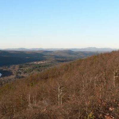
Wurtsboro, human settlement in Sullivan County, New York, United States of America
Location: Sullivan County
Elevation above the sea: 176 m
GPS coordinates: 41.57720,-74.48440
Latest update: March 8, 2025 05:34
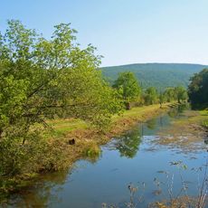
Delaware and Hudson Canal
4.5 km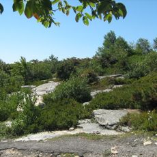
Sam's Point Preserve
15 km
Blue Cliff Monastery
9.9 km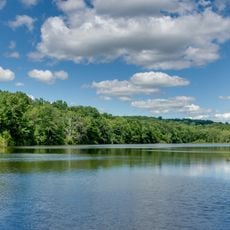
Highland Lakes State Park
15.4 km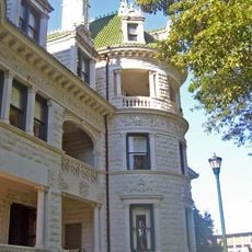
Webb Horton House
16.2 km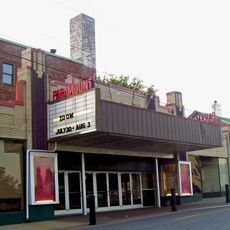
Paramount Theatre
15.6 km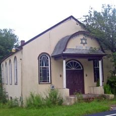
Anshei Glen Wild Synagogue
11.9 km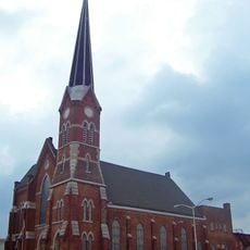
First Congregational Church of Middletown
15.6 km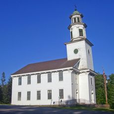
Bloomingburg Reformed Protestant Dutch Church
4.2 km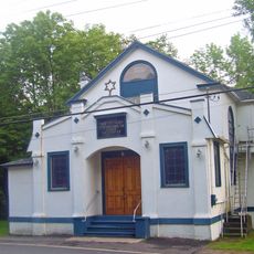
Hebrew Congregation of Mountaindale Synagogue
13 km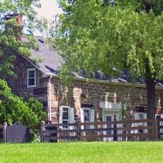
Robert A. Thompson House
12 km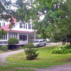
Mamakating Park Historic District
5.8 km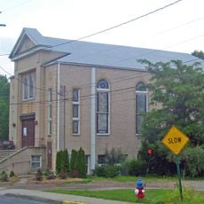
Ohave Shalom Synagogue
16.6 km
Cragsmoor Historic District
13.7 km
John I Crawford Farm
12.8 km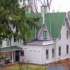
Dodge-Greenleaf House
12.3 km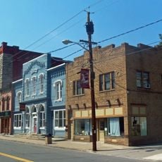
Ellenville Downtown Historic District
17.3 km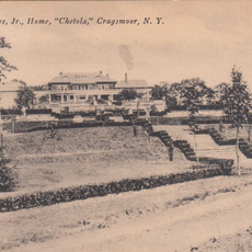
Chetolah
12.9 km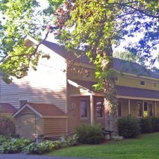
Masten-Quinn House
275 m
Grace Episcopal Church
15.5 km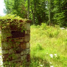
Benjamin Van Keuren House Ruin
16.6 km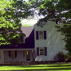
Alexander Thompson House
12.3 km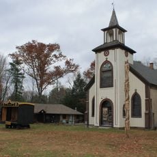
Glen Wild Methodist Church
13.1 km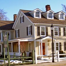
Taylor-Corwin House
15.5 km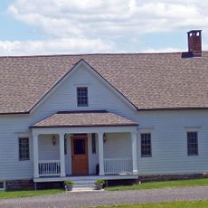
Andrew Thompson Farmstead
12.1 km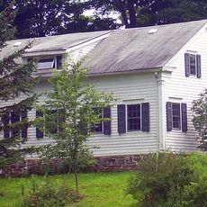
Shorter House (Crawford, New York)
11.6 km
Wanaksink Lake
8.2 km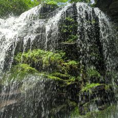
Mullet Falls
11.7 kmReviews
Visited this place? Tap the stars to rate it and share your experience / photos with the community! Try now! You can cancel it anytime.
Discover hidden gems everywhere you go!
From secret cafés to breathtaking viewpoints, skip the crowded tourist spots and find places that match your style. Our app makes it easy with voice search, smart filtering, route optimization, and insider tips from travelers worldwide. Download now for the complete mobile experience.

A unique approach to discovering new places❞
— Le Figaro
All the places worth exploring❞
— France Info
A tailor-made excursion in just a few clicks❞
— 20 Minutes