Enable Location

We need your location to show you interesting places around you

Discover nearby places

Find interesting locations and hidden gems around you

Precise directions

Get accurate directions and distances to places

Your location is never shared with other users. It's only used when you tap the location button.

South Glastonbury Historic District

Log in to your account

Start exploring — it's free

Trusted by 62,544 travelers worldwide

Continue with Google
Continue with Apple
or

We will send you a code to connect

By continuing, you accept our Terms and Conditions and our Privacy Policy

Check your inbox

We've sent a pincode in your inbox. Please enter the code below.

South Glastonbury Historic District, Historic district in South Glastonbury, Connecticut.

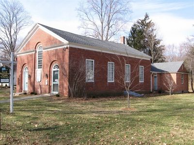
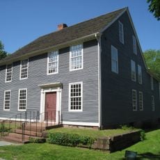
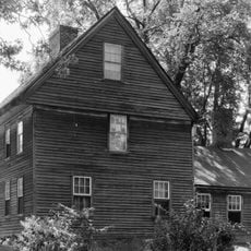
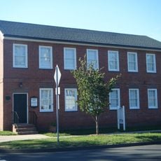
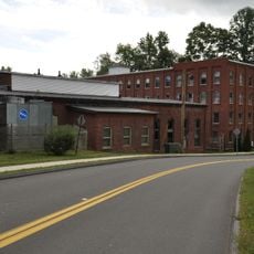
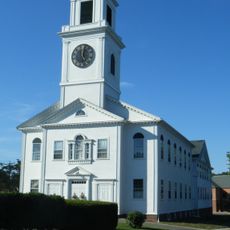
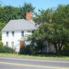
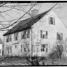
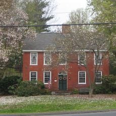
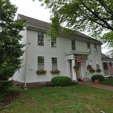
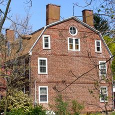
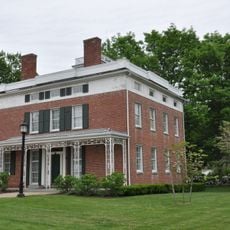
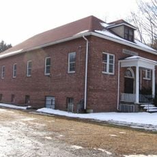
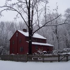
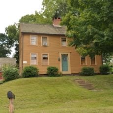
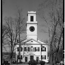
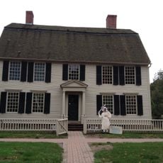
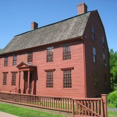
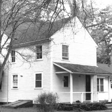
South Glastonbury Historic District is a historic area in Glastonbury, Connecticut, with its core formed by Main, High, and Water Streets. The district holds around 83 preserved buildings that show the architectural evolution across several centuries.

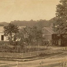
This area began as farmland from Wethersfield in the 1600s and became an independent town in 1693. Over time, maritime industries grew along the Connecticut River, shaping the region's wealth and development.

The place takes its name from Glastonbury in England, reflecting the origins of its early settlers. The streets today remain active gathering spaces where locals and visitors move between shops, offices, and community landmarks.

Walking through the district works best to see the buildings in their setting and notice architectural details. The three main streets provide good orientation, and the public library in a former church building offers materials about local history.

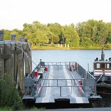
The Rocky Hill-Glastonbury Ferry has operated since 1655 and remains the oldest continuously running ferry service in the United States, crossing the Connecticut River. This vessel shows how important the river was for movement and communication in the region.

The community of curious travelers

AroundUs brings together thousands of curated places, local tips, and hidden gems, enriched daily by 60,000 contributors worldwide.

Start exploring
Location
Elevation above the sea
25 m
GPS coordinates
41.66639,-72.60417
Latest update
December 12, 2025 12:00
Around this place
Dinosaur State Park and Arboretum
United States of America

Dinosaur State Park and Arboretum

4.7 km
Meshomasic State Forest
United States of America

Meshomasic State Forest

6.1 km
United States of America

Morgan G. Bulkeley Stadium

9.5 km
Silas Deane House
United States of America

Silas Deane House

5.2 km
Buttolph-Williams House
United States of America

Buttolph-Williams House

6.3 km
William H. Putnam Memorial Bridge
United States of America

William H. Putnam Memorial Bridge

6.1 km
John Hollister House
United States of America

John Hollister House

398 m
River Highlands State Park
United States of America

River Highlands State Park

5.7 km
Academy Hall
United States of America

Academy Hall

2.9 km
J. B. Williams Co. Historic District
United States of America

J. B. Williams Co. Historic District

4 km
Rocky Hill Congregational Church
United States of America

Rocky Hill Congregational Church

2.9 km
Roger Butler House
United States of America

Roger Butler House

9.2 km
Welles-Shipman-Ward House
United States of America

Welles-Shipman-Ward House

334 m
Sage-Kirby House
United States of America

Sage-Kirby House

8.6 km
Gideon Welles House
United States of America

Gideon Welles House

5.1 km
John Robbins House
United States of America

John Robbins House

3.7 km
Selden Brewer House
United States of America

Selden Brewer House

7.9 km
Glastonbury – Rocky Hill Ferry Historic District
United States of America

Glastonbury – Rocky Hill Ferry Historic District

1.5 km
Glastonbury Historic District
United States of America

Glastonbury Historic District

4 km
Curtisville Historic District
United States of America

Curtisville Historic District

5.8 km
Daniel and Mary Lee House
United States of America

Daniel and Mary Lee House

9.8 km
Indian Hill Avenue Historic District
United States of America

Indian Hill Avenue Historic District

7.7 km
Naubuc Avenue-Broad Street Historic District
United States of America

Naubuc Avenue-Broad Street Historic District

7.3 km
Rocky Hill Center Historic District
United States of America

Rocky Hill Center Historic District

2.6 km
Webb-Deane-Stevens Museum
United States of America

Webb-Deane-Stevens Museum

6.5 km
Joseph Webb House
United States of America

Joseph Webb House

6.5 km
Middletown Upper Houses Historic District
United States of America

Middletown Upper Houses Historic District

9.2 km
Kimberly Mansion
United States of America

Kimberly Mansion

2.6 km
Show the full map
« South Glastonbury Historic District - Historic district in South Glastonbury, Connecticut » is provided by Around Us (aroundus.com). Images and texts are derived from Wikimedia project under a Creative Commons license. You are allowed to copy, distribute, and modify copies of this page, under the conditions set by the license, as long as this note is clearly visible.

Discover hidden gems everywhere you go!

From secret cafés to breathtaking viewpoints, skip the crowded tourist spots and find places that match your style. Our app makes it easy with voice search, smart filtering, route optimization, and insider tips from travelers worldwide. Download now for the complete mobile experience.

Around Us App Screenshot

A unique approach to discovering new places

Le Figaro

All the places worth exploring

France Info

A tailor-made excursion in just a few clicks

20 Minutes

Around Us
Travel Guide & Maps
Download

Send to your phone

QR Code
1

Open the camera app on your mobile.

2

Point at the QR code with your camera. A notification will appear.

3

Tap the notification to open the link.