Enable Location

We need your location to show you interesting places around you

Discover nearby places

Find interesting locations and hidden gems around you

Precise directions

Get accurate directions and distances to places

Your location is never shared with other users. It's only used when you tap the location button.

Bald Eagle and Spring Creek Navigation

Log in to your account

Start exploring — it's free

Trusted by 61,354 travelers worldwide

Continue with Google
Continue with Apple
or

We will send you a code to connect

By continuing, you accept our Terms and Conditions and our Privacy Policy

Check your inbox

We've sent a pincode in your inbox. Please enter the code below.

Bald Eagle and Spring Creek Navigation

Bald Eagle and Spring Creek Navigation, Canal transport system in Centre County, Pennsylvania.

Description

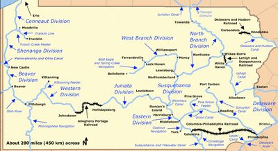
The Bald Eagle and Spring Creek Navigation was a canal system built to transport goods through Centre County using a series of locks and waterways. The channel connected industrial towns and allowed cargo boats to move goods between different parts of the region and connect to larger transportation networks.

History

The canal system was established in the 1830s to connect the region's industries with other parts of Pennsylvania. Operations were later interrupted by severe flooding, leading to the eventual abandonment of the route.

Culture

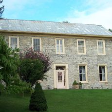
Local wealthy families and Philadelphia investors provided capital for the canal, demonstrating the period's commitment to transportation infrastructure development.

Practical

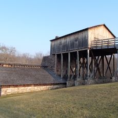
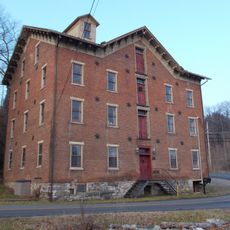
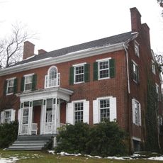
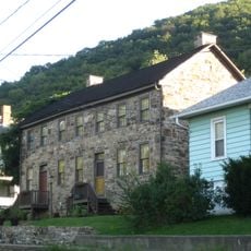
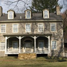
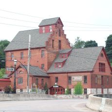
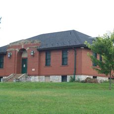
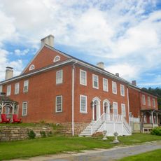
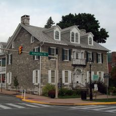
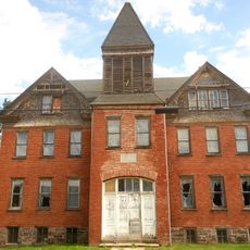
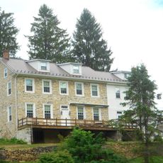
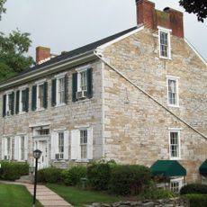
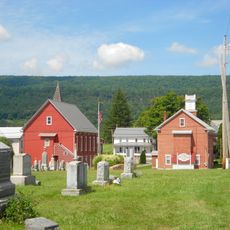
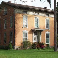
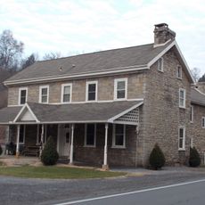
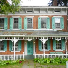
Visitors can explore the canal remains at various locations, especially near former ironworks sites. It works best to visit multiple spots by car or on foot, as they are spread across the region.

Did you know?

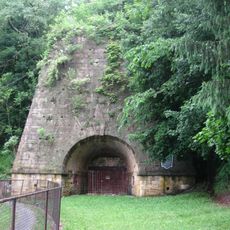
Along the former canal route, stone lock structures still stand today from the original construction, showing how waterways were engineered in the 1800s. These remains reveal the practical skills workers used to move goods across changes in elevation and terrain.

Location
GPS coordinates
41.01420,-77.65810
Latest update
December 14, 2025 17:00

AroundUs brings together thousands of curated places, local tips, and hidden gems, enriched daily by 60,000 contributors worldwide. Discover all places nearby (Pennsylvania).

Around this place
Bald Eagle State Park
United States of America

Bald Eagle State Park

5.5 km
Neff Round Barn
United States of America

Neff Round Barn

22.2 km
Centre County Courthouse
United States of America

Centre County Courthouse

15.1 km
Curtin Village
United States of America

Curtin Village

8.4 km
Brockerhoff Mill
United States of America

Brockerhoff Mill

17.4 km
William Thomas House
United States of America

William Thomas House

15.4 km
Bellefonte Historic District
United States of America

Bellefonte Historic District

15.1 km
Christian Bechdel II House
United States of America

Christian Bechdel II House

6.7 km
Nathan Harvey House
United States of America

Nathan Harvey House

18 km
Bellefonte Forge House
United States of America

Bellefonte Forge House

15.7 km
Gamble Mill
United States of America

Gamble Mill

15.4 km
Bellefonte Armory
United States of America

Bellefonte Armory

13.8 km
Farrandsville Iron Furnace
United States of America

Farrandsville Iron Furnace

21.6 km
Aaronsburg Historic District
United States of America

Aaronsburg Historic District

21.4 km
Miles-Humes House
United States of America

Miles-Humes House

15.2 km
Millheim Historic District
United States of America

Millheim Historic District

20.3 km
Maj. John Neff Homestead
United States of America

Maj. John Neff Homestead

22.2 km
Centre Mills
United States of America

Centre Mills

18.5 km
McAllister-Beaver House
United States of America

McAllister-Beaver House

14.3 km
Rebersburg Historic District
United States of America

Rebersburg Historic District

19.7 km
Harmony Forge Mansion
United States of America

Harmony Forge Mansion

14 km
Andrew Gregg Homestead
United States of America

Andrew Gregg Homestead

16.7 km
Iddings-Baldridge House
United States of America

Iddings-Baldridge House

14.1 km
Logan Furnace Mansion
United States of America

Logan Furnace Mansion

17.7 km
William Allison House
United States of America

William Allison House

19.2 km
Unionville Historic District
United States of America

Unionville Historic District

21.9 km
Maj. Jared B. Fisher House
United States of America

Maj. Jared B. Fisher House

19 km
Simon Pickle Stone House
United States of America

Simon Pickle Stone House

15.7 km
Show the full map
« Bald Eagle and Spring Creek Navigation - Canal transport system in Centre County, Pennsylvania » is provided by Around Us (aroundus.com). Images and texts are derived from Wikimedia project under a Creative Commons license. You are allowed to copy, distribute, and modify copies of this page, under the conditions set by the license, as long as this note is clearly visible.

Discover hidden gems everywhere you go!

From secret cafés to breathtaking viewpoints, skip the crowded tourist spots and find places that match your style. Our app makes it easy with voice search, smart filtering, route optimization, and insider tips from travelers worldwide. Download now for the complete mobile experience.

Around Us App Screenshot

A unique approach to discovering new places

Le Figaro

All the places worth exploring

France Info

A tailor-made excursion in just a few clicks

20 Minutes

Around Us
Travel Guide & Maps
Download

Send to your phone

QR Code
1

Open the camera app on your mobile.

2

Point at the QR code with your camera. A notification will appear.

3

Tap the notification to open the link.