Enable Location

We need your location to show you interesting places around you

Discover nearby places

Find interesting locations and hidden gems around you

Precise directions

Get accurate directions and distances to places

Your location is never shared with other users. It's only used when you tap the location button.

Browning's Beach Historic District

Log in to your account

Start exploring — it's free

Trusted by 62,564 travelers worldwide

Continue with Google
Continue with Apple
or

We will send you a code to connect

By continuing, you accept our Terms and Conditions and our Privacy Policy

Check your inbox

We've sent a pincode in your inbox. Please enter the code below.

Browning's Beach Historic District, historic district in Rhode Island, United States

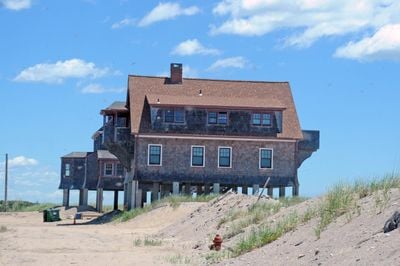
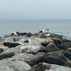
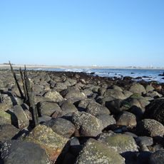
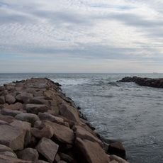
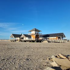
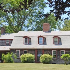
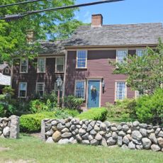
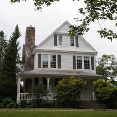
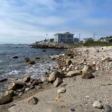
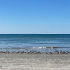
Browning's Beach Historic District is a coastal area with four houses from the early 1900s located on a barrier beach facing Long Island Sound. The homes display different architectural styles of that period with wood shingle siding, small porches, and cozy chalet-style roofs.

The district was named after the Browning family, who shaped the area's development in the early 1900s when vacation homes appeared on this coastal strip. The buildings reflect how people of that era built simple yet attractive homes by the water and how the community endured storms and erosion over time.

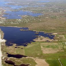
The name Browning's Beach comes from the Browning family who originally owned the land and shaped the area's development. Today, visitors can observe how residents and guests use the beaches and nearby ponds in much the same way their ancestors did generations ago.

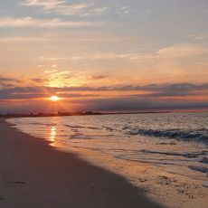
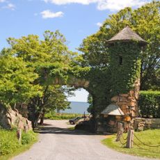
Access to the district is via a private gravel driveway from Cards Pond Road, where the houses sit in a quiet, secluded setting. Visitors should know that the beach area is busiest during warmer months and is best explored on foot to appreciate the historic details and coastal views.

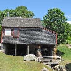
One of the four houses in the district is among the last residential homes in Rhode Island built directly on sand, making it exceptionally rare. The cottage was moved multiple times following the 1938 hurricane and now rests on posts, illustrating its remarkable survival and adaptation over more than a century.

The community of curious travelers

AroundUs brings together thousands of curated places, local tips, and hidden gems, enriched daily by 60,000 contributors worldwide.

Start exploring
Location
GPS coordinates
41.37390,-71.56440
Latest update
February 9, 2026 11:07
Around this place
Theatre-By-the-Sea
United States of America

Theatre-By-the-Sea

351 m
Scarborough Beach
United States of America

Scarborough Beach

7.8 km
Point Judith Light
United States of America

Point Judith Light

7.1 km
Salty Brine State Beach
United States of America

Salty Brine State Beach

4.4 km
East Matunuck State Beach
United States of America

East Matunuck State Beach

3.2 km
United States of America

Roger Wheeler State Beach

5.7 km
Fishermen's Memorial State Park
United States of America

Fishermen's Memorial State Park

6.3 km
Fort Ninigret
United States of America

Fort Ninigret

7.1 km
Charlestown Breachway State Beach
United States of America

Charlestown Breachway State Beach

6.4 km
Roy Carpenter's Beach
United States of America

Roy Carpenter's Beach

344 m
Frosty Drew Observatory
United States of America

Frosty Drew Observatory

8.3 km
Captain Roger W Wheeler State Beach
United States of America

Captain Roger W Wheeler State Beach

5.7 km
Dunmere
United States of America

Dunmere

9.2 km
Whitehall
United States of America

Whitehall

9.6 km
Hale House
United States of America

Hale House

2.9 km
Dewey Cottage
United States of America

Dewey Cottage

1.4 km
William Davis Miller House
United States of America

William Davis Miller House

8.4 km
Willow Dell
United States of America

Willow Dell

2.7 km
Perry-Carpenter Grist Mill
United States of America

Perry-Carpenter Grist Mill

2.3 km
District Schoolhouse No. 2
United States of America

District Schoolhouse No. 2

7.4 km
Red House
United States of America

Red House

3 km
Adventureland
United States of America

Adventureland

9.3 km
R. R. Gardner House
United States of America

R. R. Gardner House

9.2 km
Kenyon's Department Store
United States of America

Kenyon's Department Store

9 km
Scarborough South State Beach
United States of America

Scarborough South State Beach

7.3 km
Trustom Pond National Wildlife Refuge
United States of America

Trustom Pond National Wildlife Refuge

1.6 km
Galilee Beach Club Beach
United States of America

Galilee Beach Club Beach

4.7 km
Sand Hill Cove State Beach
United States of America

Sand Hill Cove State Beach

5.2 km
Show the full map
« Browning's Beach Historic District - historic district in Rhode Island, United States » is provided by Around Us (aroundus.com). Images and texts are derived from Wikimedia project under a Creative Commons license. You are allowed to copy, distribute, and modify copies of this page, under the conditions set by the license, as long as this note is clearly visible.

Discover hidden gems everywhere you go!

From secret cafés to breathtaking viewpoints, skip the crowded tourist spots and find places that match your style. Our app makes it easy with voice search, smart filtering, route optimization, and insider tips from travelers worldwide. Download now for the complete mobile experience.

Around Us App Screenshot

A unique approach to discovering new places

Le Figaro

All the places worth exploring

France Info

A tailor-made excursion in just a few clicks

20 Minutes

Around Us
Travel Guide & Maps
Download

Send to your phone

QR Code
1

Open the camera app on your mobile.

2

Point at the QR code with your camera. A notification will appear.

3

Tap the notification to open the link.