Chest opened
+${chestReward.xp} XP
Explorer
NOUVEAU ×${chestReward.collectible.quantity}
tapez pour fermer
Chest locked

Open chests in the app

Around Us is built for your phone — chests unlock when you walk, explore and capture nearby places.

Enable Location

We need your location to show you interesting places around you

Discover nearby places

Find interesting locations and hidden gems around you

Precise directions

Get accurate directions and distances to places

Your location is never shared with other users. It's only used when you tap the location button.

Log in to your account

Start exploring — it's free

Trusted by 72,876 travelers worldwide

Continue with Google
Continue with Apple
or

We will send you a code to connect

By continuing, you accept our Terms and Conditions and our Privacy Policy

Check your inbox

We've sent a pincode in your inbox. Please enter the code below.

Crow Wing State Forest
Discussion Reviews Photo
1.6k Popularity

Crow Wing State Forest, State forest in Crow Wing County, Minnesota.

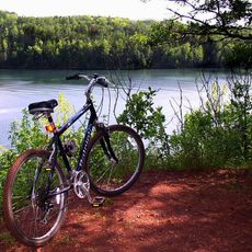
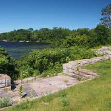
Crow Wing State Forest is a woodland area in Minnesota where the Mississippi and Crow Wing Rivers meet. The property features a patchwork of forests, open wetlands, and riverbanks where visitors encounter natural habitats in their original form.

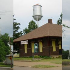
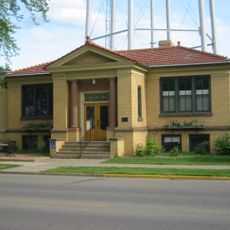
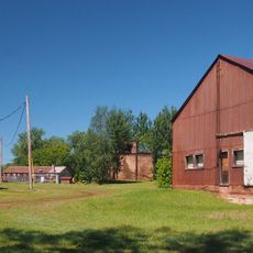
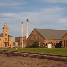
The area was originally a central gathering place for Native American tribes and became a fur trading post in the 1800s. Historical traces of this early settlement remain scattered throughout the forest in physical remains and records.

The Minnesota Department of Natural Resources maintains educational programs about local ecosystems and conservation methods within the forest boundaries.

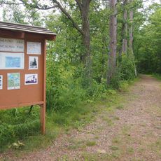
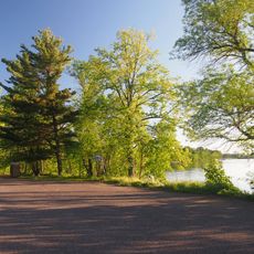
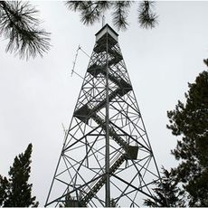
The forest offers several marked trails for hiking, wildlife watching, and nature exploration. Visitors find good conditions for fishing and camping, with activities possible year-round, making it wise to check weather before your visit.

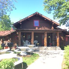
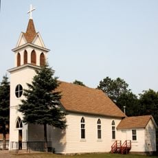
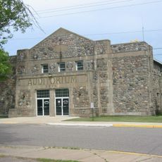
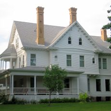
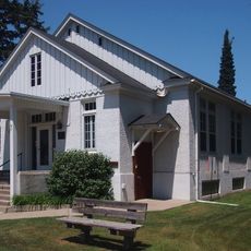
Two separate historic districts within the forest are listed on the National Register of Historic Places. These locations preserve physical evidence of the earliest European settlement in this region.

The community of curious travelers

AroundUs brings together thousands of curated places, local tips, and hidden gems, enriched daily by 60,000 contributors worldwide.

Start exploring
Location
GPS coordinates
46.56524,-94.05193
Latest update
December 14, 2025 14:24
Around this place
Brainerd International Raceway
United States of America

Brainerd International Raceway

23.6 km
Paul Bunyan Land
United States of America

Paul Bunyan Land

23.8 km
Milford Mine
United States of America

Milford Mine

7.1 km
Cuyuna Country State Recreation Area
United States of America

Cuyuna Country State Recreation Area

10.2 km
Grand View Lodge
United States of America

Grand View Lodge

21.7 km
Brainerd Water Tower
United States of America

Brainerd Water Tower

25.7 km
Crow Wing County Courthouse and Jail
United States of America

Crow Wing County Courthouse and Jail

26.1 km
Brainerd Public Library
United States of America

Brainerd Public Library

25.6 km
Aitkin County Courthouse and Jail
United States of America

Aitkin County Courthouse and Jail

26.4 km
Wilford H. Fawcett House
United States of America

Wilford H. Fawcett House

12.2 km
Bethlehem Lutheran Church
United States of America

Bethlehem Lutheran Church

34.8 km
Deerwood Auditorium
United States of America

Deerwood Auditorium

15.4 km
Franklin Junior High School
United States of America

Franklin Junior High School

25.4 km
Patrick Casey House
United States of America

Patrick Casey House

27 km
Cuyuna Iron Range Municipally-Owned Elevated Metal Water Tanks
United States of America

Cuyuna Iron Range Municipally-Owned Elevated Metal Water Tanks

11.9 km
Kenney Lake Overlook
United States of America

Kenney Lake Overlook

31 km
Aitkin Carnegie Library
United States of America

Aitkin Carnegie Library

26.5 km
Parker Building
United States of America

Parker Building

25.9 km
Pine-Hickory Lakes Roadside Parking Area
United States of America

Pine-Hickory Lakes Roadside Parking Area

27.6 km
Minnesota Highway 371 Bridge
United States of America

Minnesota Highway 371 Bridge

32.6 km
Cole Memorial Building
United States of America

Cole Memorial Building

20.5 km
Potter/Casey Company Building
United States of America

Potter/Casey Company Building

26.7 km
Washington Street Bridge
United States of America

Washington Street Bridge

26.1 km
Ironton Sintering Plant Complex
United States of America

Ironton Sintering Plant Complex

10.3 km
St. Alban's Bay Culvert
United States of America

St. Alban's Bay Culvert

36.9 km
Pequot Fire Lookout Tower
United States of America

Pequot Fire Lookout Tower

19.2 km
Rialto Theatre
United States of America

Rialto Theatre

26.7 km
Northern Pacific Railroad Shops Historic District
United States of America

Northern Pacific Railroad Shops Historic District

25.2 km
Show the full map
Reviews
Share your experience

No review yet

Discussions
Start a discussion...

No discussion yet

« Crow Wing State Forest - State forest in Crow Wing County, Minnesota » is provided by Around Us (aroundus.com). Images and texts are derived from Wikimedia project under a Creative Commons license. You are allowed to copy, distribute, and modify copies of this page, under the conditions set by the license, as long as this note is clearly visible.

Discover hidden gems everywhere you go!

From secret cafés to breathtaking viewpoints, skip the crowded tourist spots and find places that match your style. Our app makes it easy with voice search, smart filtering, route optimization, and insider tips from travelers worldwide. Download now for the complete mobile experience.

Around Us App Screenshot

A unique approach to discovering new places

Le Figaro

All the places worth exploring

France Info

A tailor-made excursion in just a few clicks

20 Minutes

Around Us
Travel Guide & Maps
Download

Send to your phone

QR Code
1

Open the camera app on your mobile.

2

Point at the QR code with your camera. A notification will appear.

3

Tap the notification to open the link.