Enable Location

We need your location to show you interesting places around you

Discover nearby places

Find interesting locations and hidden gems around you

Precise directions

Get accurate directions and distances to places

Your location is never shared with other users. It's only used when you tap the location button.

Crown Point Road

Log in to your account

Start exploring — it's free

Trusted by 63,121 travelers worldwide

Continue with Google
Continue with Apple
or

We will send you a code to connect

By continuing, you accept our Terms and Conditions and our Privacy Policy

Check your inbox

We've sent a pincode in your inbox. Please enter the code below.

Discussion Reviews 1 Photos
1.9k Popularity

Crown Point Road, historic road in Vermont, United States

Crown Point Road is a historic route in Vermont built over 250 years ago during the French and Indian War to connect the British outpost at Crown Point with other locations in New England. It follows an ancient path that Native Americans used between Lake Champlain and the Connecticut River, which British soldiers led by Captain John Stark later improved for military purposes.

Built during the French and Indian War under General Jeffrey Amherst, the road was designed to move troops quickly and encourage settlers into the region. It became crucial during the American Revolution when colonial militia used it strategically to defeat British forces and secure important victories.

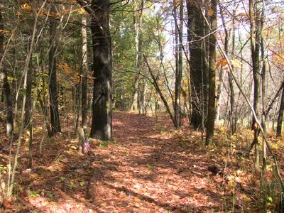
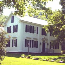
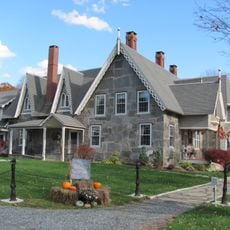
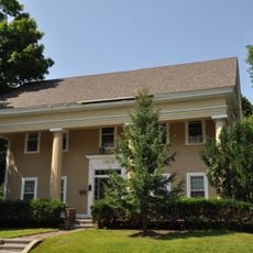
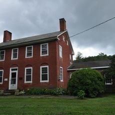
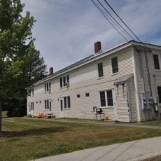
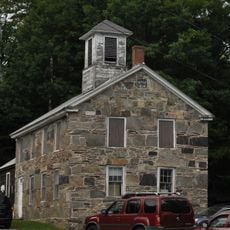
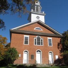
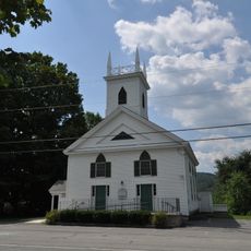
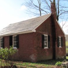
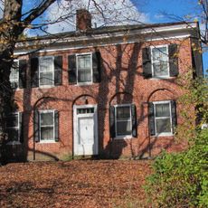
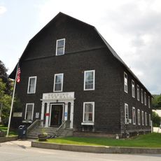
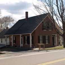
The road takes its name from the British outpost it connected in colonial times. Today, locals and visitors use this route to experience rural Vermont while encountering old farmsteads, stone walls, and small cemeteries that reflect generations of settlement along the way.

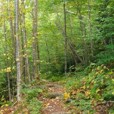
The road is not fully paved and can become muddy after rain, so visitors should expect uneven surfaces and wear sturdy footwear. It is narrow with light traffic, and several scenic overlooks and old cemeteries along the way offer good stopping points to explore and rest during a visit.

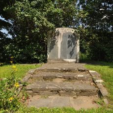
Visitors can still see granite markers placed along the route in the early 1900s by the Daughters of the American Revolution. These markers trace the historic path and help walkers follow the footsteps of those who used this trail centuries ago.

The community of curious travelers

AroundUs brings together thousands of curated places, local tips, and hidden gems, enriched daily by 60,000 contributors worldwide.

Start exploring
Location
GPS coordinates
43.39139,-72.50333
Latest update
February 9, 2026 08:20
Around this place
Mount Ascutney
United States of America

Mount Ascutney

7 km
Stellafane Observatory
United States of America

Stellafane Observatory

12.7 km
Ascutney Mill Dam
United States of America

Ascutney Mill Dam

12.9 km
Hartness House
United States of America

Hartness House

10.2 km
Salmon P. Chase Birthplace
United States of America

Salmon P. Chase Birthplace

11.8 km
Ascutney State Park
United States of America

Ascutney State Park

7.7 km
Union Episcopal Church
United States of America

Union Episcopal Church

10.7 km
Indian Stones
United States of America

Indian Stones

6.6 km
Glimmerstone
United States of America

Glimmerstone

9 km
Bowers Covered Bridge
United States of America

Bowers Covered Bridge

7.9 km
Best's Covered Bridge
United States of America

Best's Covered Bridge

7.2 km
Upper Falls Covered Bridge
United States of America

Upper Falls Covered Bridge

1.7 km
United States of America

Park Street School

10.4 km
William Rossiter House
United States of America

William Rossiter House

13 km
Iron Bridge at Howard Hill Road
United States of America

Iron Bridge at Howard Hill Road

6 km
Aaron Jr. and Susan Parker Farm
United States of America

Aaron Jr. and Susan Parker Farm

9.2 km
Pollard Block
United States of America

Pollard Block

11 km
Southview Housing Historic District
United States of America

Southview Housing Historic District

12 km
South Reading Schoolhouse
United States of America

South Reading Schoolhouse

12 km
Weathersfield Center Historic District
United States of America

Weathersfield Center Historic District

3.2 km
North Charlestown Historic District
United States of America

North Charlestown Historic District

13 km
Spencer Hollow School
United States of America

Spencer Hollow School

12 km
Lockwood-Boynton House
United States of America

Lockwood-Boynton House

6.8 km
Springfield Downtown Historic District
United States of America

Springfield Downtown Historic District

10.2 km
Spaulding Bridge
United States of America

Spaulding Bridge

8.6 km
Claremont Warehouse No. 34
United States of America

Claremont Warehouse No. 34

12.9 km
Reading Town Hall
United States of America

Reading Town Hall

7.7 km
Twing Buckman House
United States of America

Twing Buckman House

12.7 km
Show the full map
Reviews
Share your experience

No review yet

Discussions
Start a discussion...

No discussion yet

« Crown Point Road - historic road in Vermont, United States » is provided by Around Us (aroundus.com). Images and texts are derived from Wikimedia project under a Creative Commons license. You are allowed to copy, distribute, and modify copies of this page, under the conditions set by the license, as long as this note is clearly visible.

Discover hidden gems everywhere you go!

From secret cafés to breathtaking viewpoints, skip the crowded tourist spots and find places that match your style. Our app makes it easy with voice search, smart filtering, route optimization, and insider tips from travelers worldwide. Download now for the complete mobile experience.

Around Us App Screenshot

A unique approach to discovering new places

Le Figaro

All the places worth exploring

France Info

A tailor-made excursion in just a few clicks

20 Minutes

Around Us
Travel Guide & Maps
Download

Send to your phone

QR Code
1

Open the camera app on your mobile.

2

Point at the QR code with your camera. A notification will appear.

3

Tap the notification to open the link.