
Crum Hill, mountain in Massachusetts, United States of America
Location: Massachusetts
Elevation above the sea: 866 m
GPS coordinates: 42.71092,-73.01982
Latest update: April 28, 2025 10:10
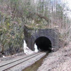
Hoosac Tunnel
4.5 km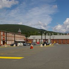
Massachusetts Museum of Contemporary Art
8 km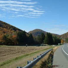
Mohawk Trail
9.5 km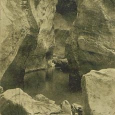
Natural Bridge State Park
6 km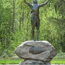
Hail To The Sunrise Statue
11.8 km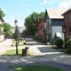
Western Gateway Heritage State Park
7.9 km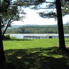
Clarksburg State Park
5.3 km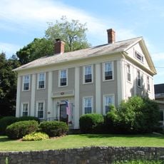
Wells House
9.5 km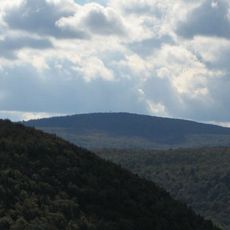
Borden Mountain
12.2 km
Blackinton Historic District
7.1 km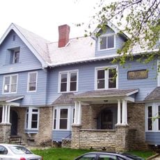
The Boardman
7.3 km
Congregation Beth Israel
12.2 km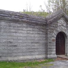
Hillside Cemetery
8.6 km
Church Street Historic District
7.3 km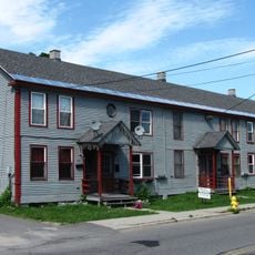
Hathaway Tenement
8.2 km
Hoosac Street School
12.3 km
St. Joseph's School
7.3 km
Freeman's Grove Historic District
7.7 km
Charles Browne House
7.3 km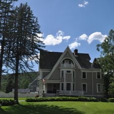
Tudor House
6.1 km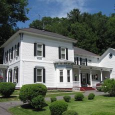
Armstrong House
7.6 km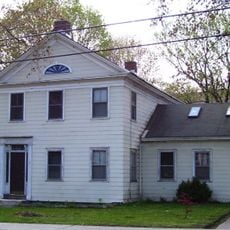
Crowley House
8.9 km
Church Street-Caddy Hill Historic District
7.3 km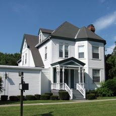
Sykes House
9.4 km
Normal School Historic District
7.1 km
Western Summit
4.1 km
Monument Square-Eagle Street Historic District
7.6 km
Campers Beach
6.5 kmReviews
Visited this place? Tap the stars to rate it and share your experience / photos with the community! Try now! You can cancel it anytime.
Discover hidden gems everywhere you go!
From secret cafés to breathtaking viewpoints, skip the crowded tourist spots and find places that match your style. Our app makes it easy with voice search, smart filtering, route optimization, and insider tips from travelers worldwide. Download now for the complete mobile experience.

A unique approach to discovering new places❞
— Le Figaro
All the places worth exploring❞
— France Info
A tailor-made excursion in just a few clicks❞
— 20 Minutes