Enable Location

We need your location to show you interesting places around you

Discover nearby places

Find interesting locations and hidden gems around you

Precise directions

Get accurate directions and distances to places

Your location is never shared with other users. It's only used when you tap the location button.

Devil's Pocket

Log in to your account

Start exploring — it's free

Trusted by 68,215 travelers worldwide

Continue with Google
Continue with Apple
or

We will send you a code to connect

By continuing, you accept our Terms and Conditions and our Privacy Policy

Check your inbox

We've sent a pincode in your inbox. Please enter the code below.

Devil's Pocket
Discussion Reviews 1 Photos
14.7k Popularity

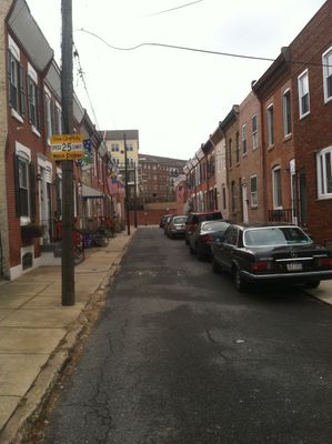
Devil's Pocket, Residential district in Southwest Center City, Philadelphia, United States.

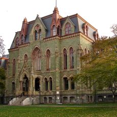
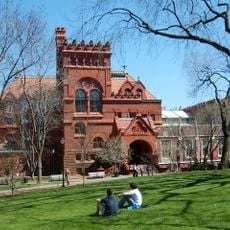
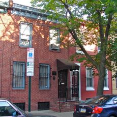
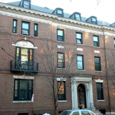
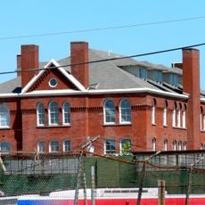
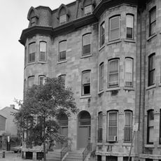
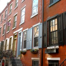
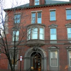
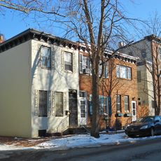
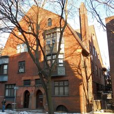
Devil's Pocket is a residential neighborhood in Southwest Center City that spans three blocks near the Schuylkill River. The area mixes traditional rowhouses with older industrial structures and modern medical facilities.

The neighborhood got its name from a local priest who said the youth of the area were clever enough to steal from the devil's own pocket. This colorful story reflects how people viewed the district in earlier times.

The neighborhood maintains strong connections to its Irish-American heritage through multiple generations of families who settled in the tight streets of the area. You can still see traces of these cultural roots today in the buildings and local stories.

The area is walkable with good access to nearby facilities and services along its streets. The compact size makes it easy to explore the neighborhood on foot without needing transportation.

The neighborhood has shifted from a working-class residential area to a medical hub, with major health facilities now standing alongside historic homes. This shift shows how Philadelphia has moved away from manufacturing toward healthcare.

The community of curious travelers

AroundUs brings together thousands of curated places, local tips, and hidden gems, enriched daily by 60,000 contributors worldwide.

Start exploring
Location
GPS coordinates
39.94250,-75.18610
Latest update
March 5, 2026 21:06
Around this place
Franklin Field
United States of America

Franklin Field

899 m
University of Pennsylvania Museum of Archaeology and Anthropology
United States of America

University of Pennsylvania Museum of Archaeology and Anthropology

840 m
Philadelphia Convention Hall and Civic Center
United States of America

Philadelphia Convention Hall and Civic Center

935 m
College Hall
United States of America

College Hall

1.2 km
Philadelphia Naval Asylum
United States of America

Philadelphia Naval Asylum

244 m
Fisher Fine Arts Library
United States of America

Fisher Fine Arts Library

1.1 km
Rosenbach Museum & Library
United States of America

Rosenbach Museum & Library

1.1 km
Irvine Auditorium
United States of America

Irvine Auditorium

1.1 km
University of Pennsylvania Campus Historic District
United States of America

University of Pennsylvania Campus Historic District

1 km
Marian Anderson House
United States of America

Marian Anderson House

974 m
South Street Bridge
United States of America

South Street Bridge

500 m
Curtis Organ
United States of America

Curtis Organ

1.1 km
Hajoca Corporation Headquarters and Showroom
United States of America

Hajoca Corporation Headquarters and Showroom

1.1 km
University Avenue Bridge
United States of America

University Avenue Bridge

1 km
Walnut Street Bridge
United States of America

Walnut Street Bridge

1.1 km
John C. Bell House
United States of America

John C. Bell House

1.1 km
Schuylkill Expressway Bridge
United States of America

Schuylkill Expressway Bridge

696 m
St. Anthony de Padua Parish School
United States of America

St. Anthony de Padua Parish School

171 m
Cira Green
United States of America

Cira Green

1.1 km
Schuylkill Arsenal Railroad Bridge
United States of America

Schuylkill Arsenal Railroad Bridge

486 m
Edward Drinker Cope House
United States of America

Edward Drinker Cope House

946 m
David Landreth School
United States of America

David Landreth School

671 m
Hockley Row
United States of America

Hockley Row

1.2 km
Ringgold Place
United States of America

Ringgold Place

1.1 km
Schuylkill River Park Community Garden
United States of America

Schuylkill River Park Community Garden

852 m
Bishop Mackay-Smith House
United States of America

Bishop Mackay-Smith House

1 km
Ramcat Historic District
United States of America

Ramcat Historic District

776 m
Neill-Mauran House
United States of America

Neill-Mauran House

902 m
Show the full map
Reviews
Share your experience

No review yet

Discussions
Start a discussion...

No discussion yet

« Devil's Pocket - Residential district in Southwest Center City, Philadelphia, United States » is provided by Around Us (aroundus.com). Images and texts are derived from Wikimedia project under a Creative Commons license. You are allowed to copy, distribute, and modify copies of this page, under the conditions set by the license, as long as this note is clearly visible.

Discover hidden gems everywhere you go!

From secret cafés to breathtaking viewpoints, skip the crowded tourist spots and find places that match your style. Our app makes it easy with voice search, smart filtering, route optimization, and insider tips from travelers worldwide. Download now for the complete mobile experience.

Around Us App Screenshot

A unique approach to discovering new places

Le Figaro

All the places worth exploring

France Info

A tailor-made excursion in just a few clicks

20 Minutes

Around Us
Travel Guide & Maps
Download

Send to your phone

QR Code
1

Open the camera app on your mobile.

2

Point at the QR code with your camera. A notification will appear.

3

Tap the notification to open the link.