Cojedes, Administrative division in central Venezuela.
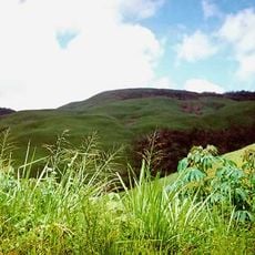
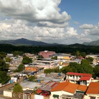
Cojedes is a state in the central Venezuelan lowlands, lying between wooded hills to the north and wide grasslands to the south. Several rivers cross the territory, flowing through open countryside dotted with scattered settlements and ranches.
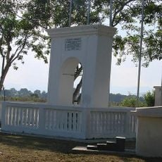
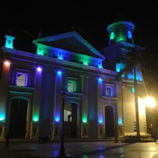
The area served as a passage for indigenous groups for centuries before Spanish missionaries established the first permanent settlements during the 18th century. In the 19th century the administrative territory was separated from neighboring provinces and gained its current status.
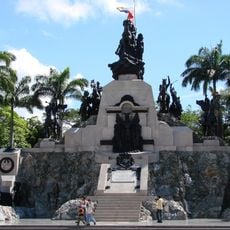
The name Cojedes comes from an indigenous term used before colonial times and remains part of the regional identity today. Many residents maintain ties to rural traditions that show through in handmade goods and local gatherings.
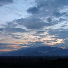
The region is best traveled during the dry season between December and April when roads remain passable and rivers carry less water. Visitors should prepare for warm weather and note that many communities are reached by unpaved roads.
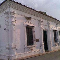
Some communities near the river courses still maintain a building style with palm roofs and open side walls that suits the heat and humid conditions. This architecture is a direct response to the natural conditions of the central Venezuelan plains.
Location: Central Region
Inception: 1864
Capital city: San Carlos
Elevation above the sea: 88 m
Reference: CO
Shares border with: Portuguesa, Lara, Yaracuy, Carabobo, Guárico, Barinas State
Website: http://cojedes.gob.ve
GPS coordinates: 9.35000,-68.31667
Latest update: December 13, 2025 17:40
Cerro María Lionza Natural Monument
105.8 km
Arco del triunfo de carabobo
75.1 km
Hato Piñero
53 km
Tirgua National Park
69.1 km
Altar de la Patria
74.6 km
Güigüe Abbey
98.5 km
San Carlos Circuit
43.6 km
La Blanquera
46.1 km
Arco de Taguanes
65.3 km
Cathedral of the Immaculate Conception
45.9 kmTopo Alto Libre
79.5 kmEmbalse Las Majaguas
84.8 km
Museo de Arte Acarigua-Araure
101.4 kmCumbre de Batatal
83.1 kmEmbalse de Cachinche
64.5 kmCumbre del Helechal
74.4 kmTopo Barrancón
87.5 kmEmbalse de Cachinche
64.5 kmTopo El Libano
81.2 kmPlaya Morenera
38.3 kmTopo Las Hermanitas
74.6 kmTopo Copetón
88.8 kmTopo El Onoto
87.1 kmMirador Warriors
68.7 kmBalneario ecoturístico Los Manantiales
62.7 kmCampameno El Yake
59.6 kmMonumento al soldado venezolano
75.5 kmAntonio José de Sucre
88 kmVisited this place? Tap the stars to rate it and share your experience / photos with the community! Try now! You can cancel it anytime.
Discover hidden gems everywhere you go!
From secret cafés to breathtaking viewpoints, skip the crowded tourist spots and find places that match your style. Our app makes it easy with voice search, smart filtering, route optimization, and insider tips from travelers worldwide. Download now for the complete mobile experience.
A unique approach to discovering new places❞
— Le Figaro
All the places worth exploring❞
— France Info
A tailor-made excursion in just a few clicks❞
— 20 Minutes