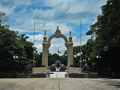
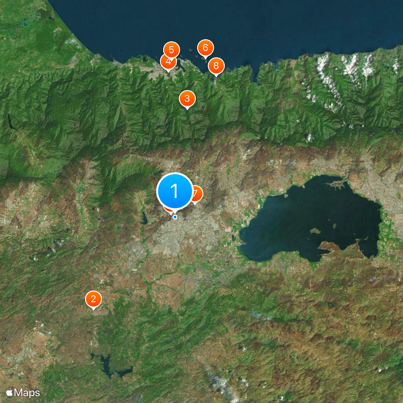
Central Region, Administrative region in northern Venezuela.
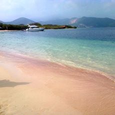
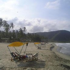
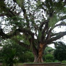
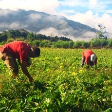
This administrative division sits in northern Venezuela and stretches from the Caribbean coastline to the western foothills of the coastal mountain range. It covers three states and includes flat lowlands, fertile valleys, and forested uplands.
This division took shape in the late 1960s when Venezuela introduced a new administrative structure to coordinate government activities across larger areas. Since then, it has served mainly for regional planning and economic coordination.
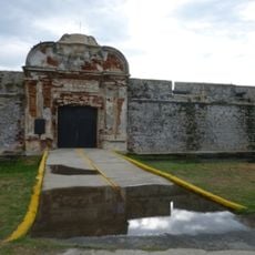
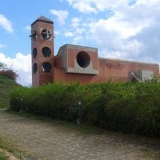
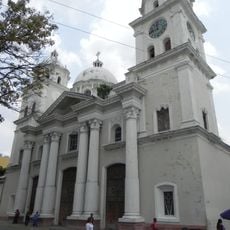
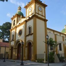
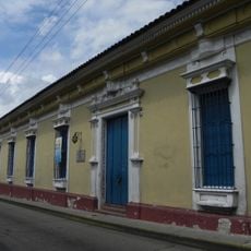
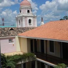
Place names often reflect Spanish origins and local geography, while daily routines vary noticeably between coastal settlements and mountain villages. Market days and town squares reveal how communities gather and trade regional produce in open-air settings.
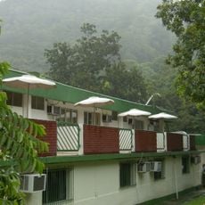
Travelers will find major road connections and airports that make onward journeys to other parts of the country easier. Those moving along the coast should know that driving times can vary widely depending on mountain road conditions.
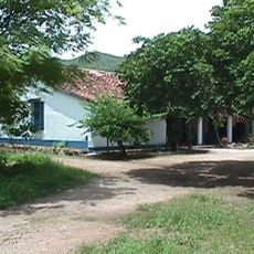
Within this administrative area live descendants of German immigrants who arrived in the 19th century and have kept their customs across generations. Some mountain villages still show half-timbered houses and celebrate traditional festivals from the Black Forest.
The community of curious travelers
AroundUs brings together thousands of curated places, local tips, and hidden gems, enriched daily by 60,000 contributors worldwide.