Isla Larga, Caribbean island in Carabobo, Venezuela
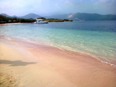
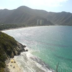
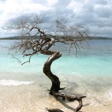
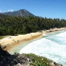
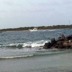
Isla Larga is an island within San Esteban National Park, off the coast of Carabobo state in Venezuela, sitting in the Caribbean Sea. The island is covered with low vegetation and surrounded by shallow waters that are generally calm and used for snorkeling and diving.
The island has been part of San Esteban National Park since the area was placed under protection along the Venezuelan Caribbean coast. In 1940, a German cargo ship called Sesostris sank in the surrounding waters, leaving a wreck that changed the underwater environment around the island.
The island is known among divers for the marine life that has grown around the sunken ships nearby, making it a place where people come to snorkel and dive rather than just relax on a beach. Local fishermen also work these waters and are a common sight from the shore.
The island is only reachable by boat, departing from a nearby beach on the mainland. Sea conditions can change depending on the season and weather, so it is worth checking conditions before heading out.
Besides the Sesostris, at least one other sunken vessel rests in the waters nearby, giving divers more than one wreck to explore in a single trip. Some of these wrecks sit shallow enough that snorkelers can spot them from the surface without diving gear.
The community of curious travelers
AroundUs brings together thousands of curated places, local tips, and hidden gems, enriched daily by 60,000 contributors worldwide.