Municipio Macanao, Administrative division in Peninsula de Macanao, Venezuela
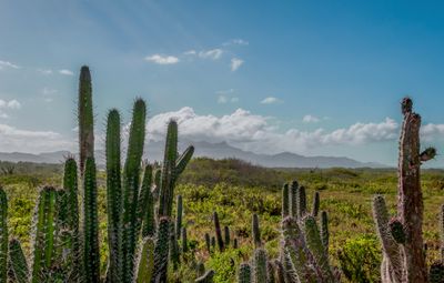
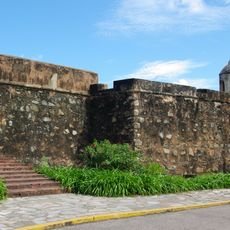
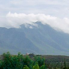
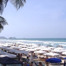
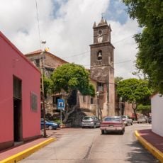
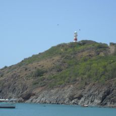
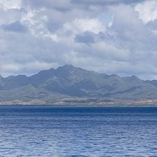
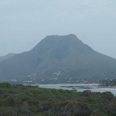
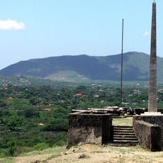
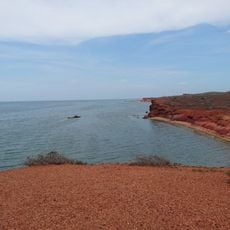
Municipio Macanao is an administrative division on the western portion of Isla Margarita, with a mountainous ridge running across its terrain from east to west. The landscape features dry vegetation and rocky formations, with its main settlement at Boca del Río serving as the administrative hub.
This territory was originally part of Distrito Díaz before becoming an independent municipality on January 29, 1988. The separation established a new administrative structure and clearer boundaries for local governance on the peninsula.
The Guayquería people shaped life on the peninsula and their legacy remains visible in local place names and traditional practices passed down through generations. Their influence appears in how residents still use natural resources and maintain ancestral customs.
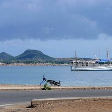
A bridge built in 1963 connects the peninsula to the larger island, making it easy to reach the main settlements and administrative areas. Visiting during the drier months offers better road conditions for exploring the region's scattered communities.
A marine museum in Boca del Río displays whale skeletons, preserved sea turtles, and coral formations from local waters. This collection offers visitors a glimpse into the ocean life that surrounds the peninsula and the island.
The community of curious travelers
AroundUs brings together thousands of curated places, local tips, and hidden gems, enriched daily by 60,000 contributors worldwide.