
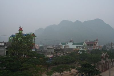
Chợ Đồn, rural district of Bac Kan, Vietnam
Location: Bắc Kạn
Elevation above the sea: 382 m
GPS coordinates: 22.18694,105.57278
Latest update: April 5, 2025 23:02

Hùng Temple
95 km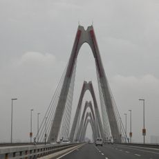
Nhật Tân Bridge
124.5 km
Nui Coc Lake
68.8 km
Bao Ha Temple
125.8 km
Tam Đảo
72.6 km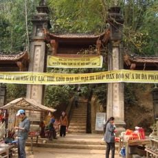
Chùa Tây Phương
128.9 km
Thăng Long Bridge
123.2 km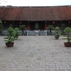
Co Loa Citadel
123.5 km
Friendship Pass
119.9 km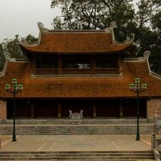
Son Tay Ancient Citadel
116.9 km
Thanh Trì Bridge
123.2 km
Ham Long Buddhist temple
128.4 km
Ba Vi National Park
125.5 km
Dong Tru Bridge
128.1 km
Tam Dao National Park
74.6 km
Ba Bể National Park
24.7 km
Thanh Thuy border checkpoint
111.8 km
Viet Tri Stadium
99.5 km
Tra Linh checkpoint
108.6 km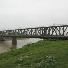
Duong River Bridge
128.3 km
Longbang Port
108.7 km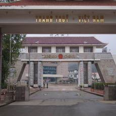
Tianbao Port
111.8 km
Ky Cung Bridge
127.9 km
Thanh Chuong Viet Palace
104.1 km
Vat Bridge
102.1 km
Thác Bà Lake
76.5 km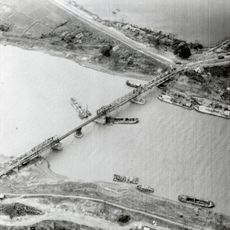
Sông Bé Bridge
128.3 km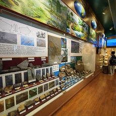
Vietnam National Museum of Nature
129 kmReviews
Visited this place? Tap the stars to rate it and share your experience / photos with the community! Try now! You can cancel it anytime.
Discover hidden gems everywhere you go!
From secret cafés to breathtaking viewpoints, skip the crowded tourist spots and find places that match your style. Our app makes it easy with voice search, smart filtering, route optimization, and insider tips from travelers worldwide. Download now for the complete mobile experience.

A unique approach to discovering new places❞
— Le Figaro
All the places worth exploring❞
— France Info
A tailor-made excursion in just a few clicks❞
— 20 Minutes