Enable Location

We need your location to show you interesting places around you

Discover nearby places

Find interesting locations and hidden gems around you

Precise directions

Get accurate directions and distances to places

Your location is never shared with other users. It's only used when you tap the location button.

Chitwan District

Log in to your account

Start exploring — it's free

Trusted by 62,519 travelers worldwide

Continue with Google
Continue with Apple
or

We will send you a code to connect

By continuing, you accept our Terms and Conditions and our Privacy Policy

Check your inbox

We've sent a pincode in your inbox. Please enter the code below.

Chitwan District, Administrative division in southern Bagmati Province, Nepal

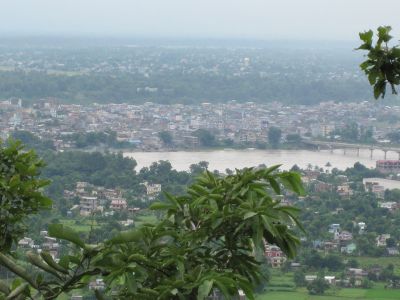
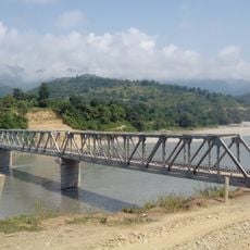
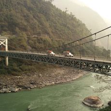
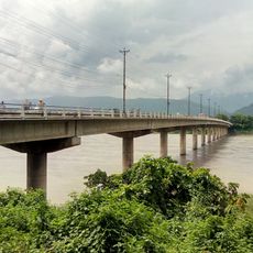
Chitwan is an administrative unit in southern Bagmati Province, Nepal, stretching from the Terai lowlands to forested hills. The region is crossed by the Rapti River and its tributaries, which make the land fertile and create habitat for wildlife.

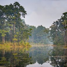
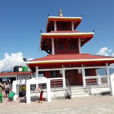
The name comes from Sanskrit and means heart of the forest, describing the dense vegetation that covered this area until the 20th century. Large parts were later cleared to create farmland, while one area was preserved as a national park.

Tharu communities have lived in this lowland region for generations and developed a close relationship with the forest, reflected in their mud and thatch houses. Visitors can discover their colorful wall paintings and traditional stick drums in villages, used during festivals.

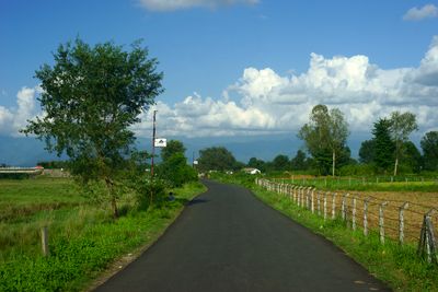
The airport in Bharatpur offers connections to other Nepali cities and sits roughly in the middle of the region. The two main highways lead to Kathmandu in the north and along the border with India to the south.

Mustard oil presses still work using traditional methods, with wooden equipment driven by oxen or water power. The harvest of maize here exceeds that of rice, which is unusual for lowland Nepal.

The community of curious travelers

AroundUs brings together thousands of curated places, local tips, and hidden gems, enriched daily by 60,000 contributors worldwide.

Start exploring
Location
Capital city
Bharatpur
Elevation above the sea
415 m
GPS coordinates
27.58333,84.50000
Latest update
December 14, 2025 17:25
« Chitwan District - Administrative division in southern Bagmati Province, Nepal » is provided by Around Us (aroundus.com). Images and texts are derived from Wikimedia project under a Creative Commons license. You are allowed to copy, distribute, and modify copies of this page, under the conditions set by the license, as long as this note is clearly visible.

Discover hidden gems everywhere you go!

From secret cafés to breathtaking viewpoints, skip the crowded tourist spots and find places that match your style. Our app makes it easy with voice search, smart filtering, route optimization, and insider tips from travelers worldwide. Download now for the complete mobile experience.

Around Us App Screenshot

A unique approach to discovering new places

Le Figaro

All the places worth exploring

France Info

A tailor-made excursion in just a few clicks

20 Minutes

Around Us
Travel Guide & Maps
Download

Send to your phone

QR Code
1

Open the camera app on your mobile.

2

Point at the QR code with your camera. A notification will appear.

3

Tap the notification to open the link.