Okhaldhunga, Administrative district in Koshi Province, Nepal
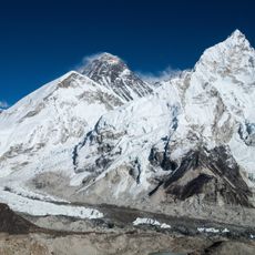
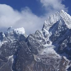
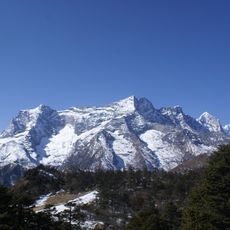
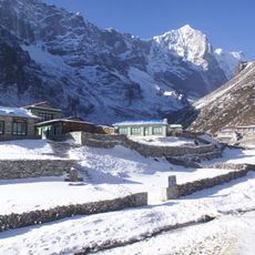
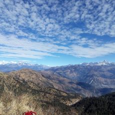
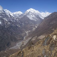
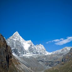
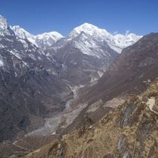
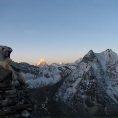
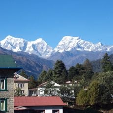
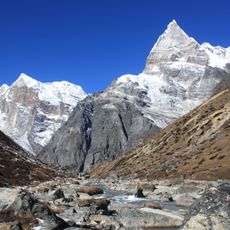
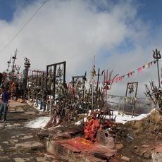
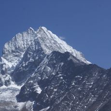
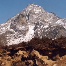
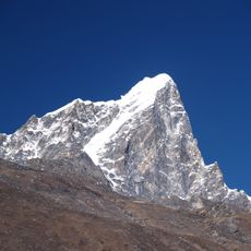
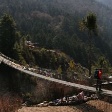
Okhaldhunga is an administrative district in Koshi Province that spans mountainous terrain with deep valleys and diverse landscapes. The region contains multiple ecological zones ranging from tropical forests to subalpine areas, with Mount Gaurishankar standing as a prominent geographical feature.
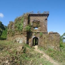
The district took shape during the Malla period when Kazi Bhim Malla expanded his kingdom and removed Kiranti rulers from the region. This shift marked a significant change in local governance and political control over the territory.
The district population includes Chhetri, Magar, and Tamang communities, with Nepali spoken by 52 percent and Hindu practices followed by 64 percent of residents.
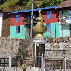
The district is organized into eight municipalities comprising 75 wards, with Siddhicharan serving as the administrative center. This headquarters handles all coordination and administrative functions for the entire district.
The name comes from a large stone mortar once used for agricultural purposes, which local legend says was used by the mythological figure Bhima for storing and eating rice. This tool remains a part of local storytelling and regional identity.
The community of curious travelers
AroundUs brings together thousands of curated places, local tips, and hidden gems, enriched daily by 60,000 contributors worldwide.