Enable Location

We need your location to show you interesting places around you

Discover nearby places

Find interesting locations and hidden gems around you

Precise directions

Get accurate directions and distances to places

Your location is never shared with other users. It's only used when you tap the location button.

Tablas Strait

Log in to your account

Start exploring — it's free

Trusted by 68,224 travelers worldwide

Continue with Google
Continue with Apple
or

We will send you a code to connect

By continuing, you accept our Terms and Conditions and our Privacy Policy

Check your inbox

We've sent a pincode in your inbox. Please enter the code below.

Tablas Strait
Discussion Reviews 1 Photos
9.8k Popularity

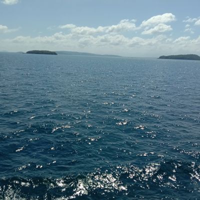
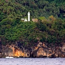
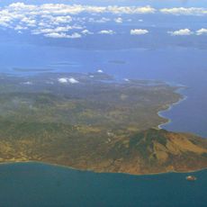
Tablas Strait, Maritime strait in Mimaropa region, Philippines

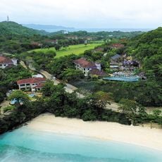
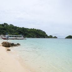
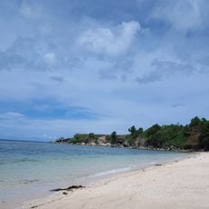
Tablas Strait is a sea passage in the Mimaropa region of the Philippines, running between Mindoro Island to the west and Tablas Island to the east. It forms one of the main waterways linking the western and central parts of the Philippine archipelago.

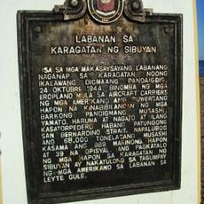
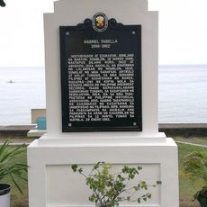
In December 1987, the passenger ferry MV Doña Paz collided with the oil tanker MT Vector in these waters, causing a fire that killed an estimated 4,386 people. The disaster is considered one of the deadliest peacetime maritime accidents ever recorded.

Fishing communities along the shores launch small wooden boats early each morning to work the waters of the strait. The daily catch shapes the rhythm of coastal villages on both sides of the passage.

The strait is best experienced by taking one of the regular ferry crossings between the islands rather than visiting as a destination itself. Conditions on the water can change quickly, so checking weather before departure is a good habit for any crossing.

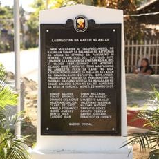
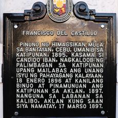
One detail many visitors overlook is that the true number of victims from the 1987 disaster was never officially confirmed, because many passengers had boarded without a ticket. This means the tragedy remains only partially documented, even decades later.

The community of curious travelers

AroundUs brings together thousands of curated places, local tips, and hidden gems, enriched daily by 60,000 contributors worldwide.

Start exploring
Location
Address
Tablas Strait, Philippines
GPS coordinates
12.40000,121.72500
Latest update
March 3, 2026 08:19
Reviews
Share your experience

No review yet

Discussions
Start a discussion...

No discussion yet

« Tablas Strait - Maritime strait in Mimaropa region, Philippines » is provided by Around Us (aroundus.com). Images and texts are derived from Wikimedia project under a Creative Commons license. You are allowed to copy, distribute, and modify copies of this page, under the conditions set by the license, as long as this note is clearly visible.

Discover hidden gems everywhere you go!

From secret cafés to breathtaking viewpoints, skip the crowded tourist spots and find places that match your style. Our app makes it easy with voice search, smart filtering, route optimization, and insider tips from travelers worldwide. Download now for the complete mobile experience.

Around Us App Screenshot

A unique approach to discovering new places

Le Figaro

All the places worth exploring

France Info

A tailor-made excursion in just a few clicks

20 Minutes

Around Us
Travel Guide & Maps
Download

Send to your phone

QR Code
1

Open the camera app on your mobile.

2

Point at the QR code with your camera. A notification will appear.

3

Tap the notification to open the link.