Calumpang, Administrative barangay in Marikina, Philippines
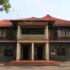
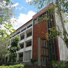
Calumpang is an administrative barangay in Marikina that encompasses a residential area with schools and religious facilities. The neighborhood has developed infrastructure featuring several educational institutions, including primary and secondary schools as well as private academies.
The name Calumpang comes from Sterculia foetida, a wild almond tree that grew abundantly in this area during early settlement. This botanical origin reflects the vegetation that once defined the area before it developed into a modern residential neighborhood.
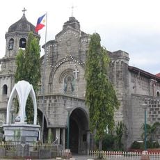
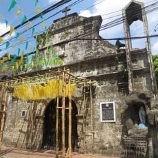
The San Antonio de Padua Parish and Iglesia ni Cristo Ang Dating Daan are important meeting places where residents gather for worship and community activities. These religious buildings shape the spiritual identity and daily rhythm of the neighborhood.
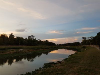
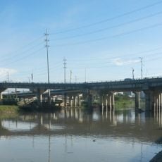
The neighborhood connects to surrounding areas through the Marcos Highway Bridge and Diosdado Macapagal Bridge, providing multiple routes for getting around. These connections make it easy to arrive and explore the area and neighboring regions.
The area was originally defined by wild almond trees that gave the region its name, dominating the landscape long before schools and buildings appeared. Today these historic trees are gone, but their name survives as a reminder of what the place once was.
The community of curious travelers
AroundUs brings together thousands of curated places, local tips, and hidden gems, enriched daily by 60,000 contributors worldwide.