Balara Filters Park, 60-hectare public park in Diliman, Philippines
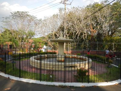
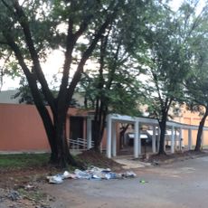
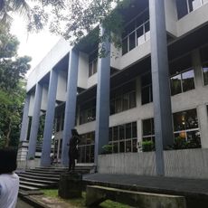
Balara Filters Park is a public park in Diliman, Quezon City, built on the grounds of a working water treatment facility. The site features Art Deco buildings, open green areas, a children's play zone, and an outdoor amphitheater.
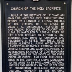
The land originally belonged to the Jesuit order during Spanish colonial times, as part of the Hacienda de Diliman. The site was opened to the public in 1953, while continuing to serve as a water treatment facility.
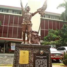
The park displays sculptures like La Intrepida and the Worker's Monument that reflect its identity as a water authority site. These artworks are visited by families and students who pass through, becoming part of their memory of the place.
The park borders the University of the Philippines Diliman campus and can be reached on foot from nearby neighborhoods. Because water treatment operations are still active on the grounds, some areas may be off-limits depending on the day.
During World War II, the grounds saw direct fighting between Japanese and American forces during the liberation of the Philippines. This history is still part of the local memory in the surrounding neighborhoods.
The community of curious travelers
AroundUs brings together thousands of curated places, local tips, and hidden gems, enriched daily by 60,000 contributors worldwide.