
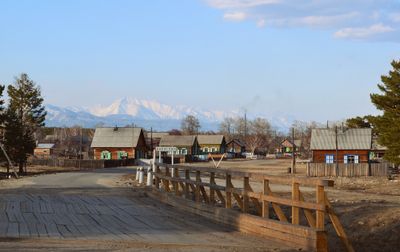
Kurumkansky District
Kurumkansky District, municipal district in Buryatia, Russia
Location: Buryatia
Inception: August 3, 1944
Capital city: Kurumkan
Website: http://kurumkan.burnet.ru
GPS coordinates: 54.31667,110.31667
Latest update: March 28, 2025 19:24
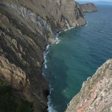
Lake Baikal
189.3 km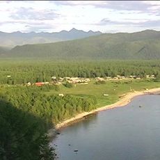
Barguzin Nature Reserve
57.8 km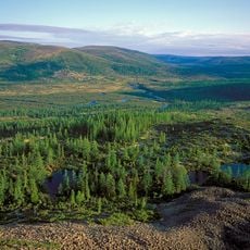
Baikal-Lena nature reserve
157.9 km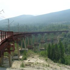
Devil's Bridge
290.8 km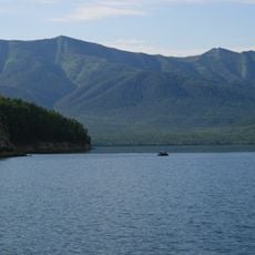
Zabaykalsky
98.2 km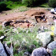
Multilayer settlement "Sunny Mys"
247.5 km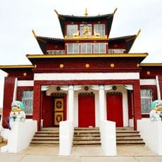
At͡sagatskiĭ dat͡san
291.2 km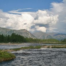
Dzherginsky Nature Reserve
115.2 km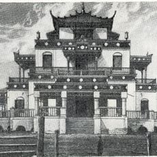
Aninsky datsan
230.1 km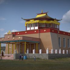
Egituysky datsan
210.9 km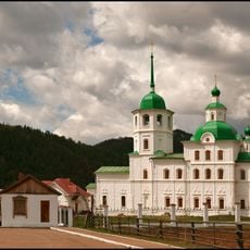
Sretensky Convent
274.7 km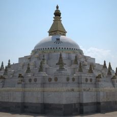
Джарун Хашор
278.6 km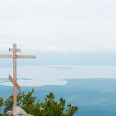
Arangatuy
116.1 km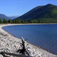
Frolikha Adventure Coastline Track
120.7 km
Кіжингинський дацан
282.2 km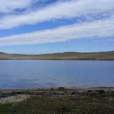
Hanhoi
244.4 km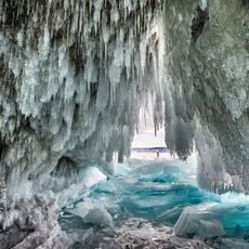
Ice cave on Olkhon island
221.6 km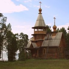
Svetlaya Polyana
155 km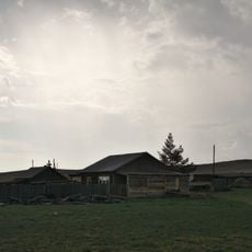
Улан-Нур
286.9 km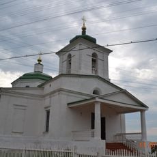
Спасо-Преображенская церковь (Баргузин)
89.9 km
Сретенская церковь
274.6 km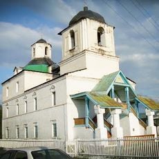
Nativity of Christ Church
97.5 km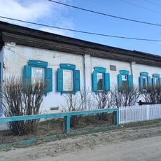
Дом Бутлицкого (Баргузин)
90.1 km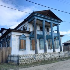
Здание банка (Баргузин)
90.1 km
Торговое здание купца Лозовского (Баргузин)
89.8 km
Дом, в котором жил в ссылке большевик К. Грабовский (Баргузин)
90.1 km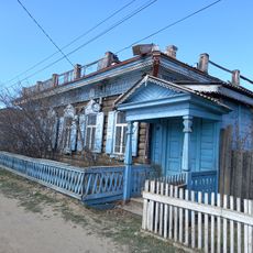
Дом Сиротина (Баргузин)
90.1 km
Cape Burkhan
231.8 kmReviews
Visited this place? Tap the stars to rate it and share your experience / photos with the community! Try now! You can cancel it anytime.
Discover hidden gems everywhere you go!
From secret cafés to breathtaking viewpoints, skip the crowded tourist spots and find places that match your style. Our app makes it easy with voice search, smart filtering, route optimization, and insider tips from travelers worldwide. Download now for the complete mobile experience.

A unique approach to discovering new places❞
— Le Figaro
All the places worth exploring❞
— France Info
A tailor-made excursion in just a few clicks❞
— 20 Minutes